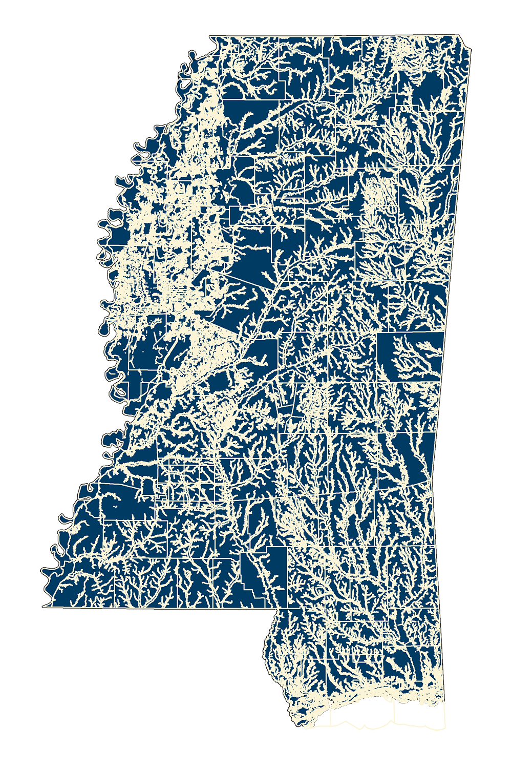
DFIRM Flood Hazard - County
DFIRM – FEMA Flood Hazard Zone Polygons
MARIS has obtained the current FEMA DFIRM flood hazard zone polygon shapefiles for all available counties. As new counties become available, we will be adding them to this link.
Please note that this shapefile is only part of the complete DFIRM packet. (See Content description). For the entire packet, go to the FEMA Flood Map Service Center
DFIRM Effective Year - Status Map: Flood_Eff_Date_June17.pdf
The data is in NAD1983 Mississippi State Plane Feet (East or West) projection.
The main attribute listing FEMA Flood Zone Codes is FLD_Zone
(See entire FEMA Code Description)
NOTE: For any flood map questions, please contact your local community flood plain manager or MDEQ’s Steve Champlin at: stephen_champlin@deq.state.ms.us
File Description
Files are packaged into a packet: <Countyname>_fldhaz.zip including:
<Countyname>_fldhaz.shp - Shapefile of polygonal areas
<Countyname>_fldhaz.met.txt - County metadata (Sample)
Statewide Hazard Shapefile: September 2023 (MSTM)
Statewide Hazard Shapefile: May 2019 (Lat/Long)
Statewide Full DFIRM Geodatabase: May 2017 (Lat/Long)
Download County Zip Files
Mississippi DEQ - Office of Geology's MS-NFHL Web Map Viewer - click here...