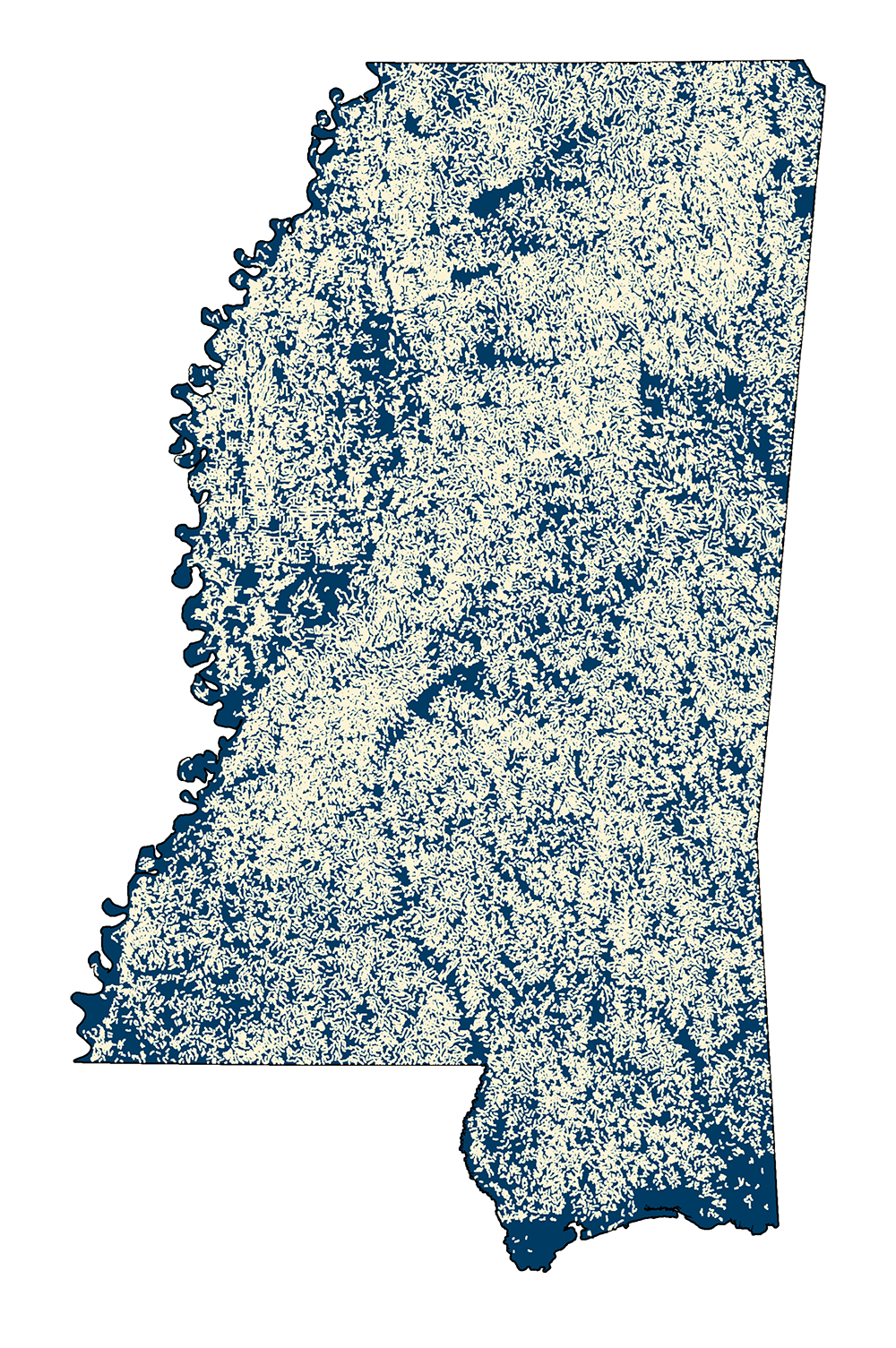
DLG Intermittent Streams 1983
- MSTM Shapefile: MS_IntermittentStreams_1983.zip
- Current Data: 1983
Vector GIS data set derived from 1983 USGS Digital Line Graphs (DLG) describing and delineating stream channels in Mississippi that contain water only part of the year.
Metadata PDF Download