Mississippi Automated Resource Information System
IHL
GeoExchange
FAQ
MARIS
Back to Data
Home
Data
Hydrology
Source Water Protection Areas
Description
Metadata
MSTM Shapefile:
MS_SourceWaterProtectionAreas_2009.zip
Current Data:
2009
REST Endpoint
Download
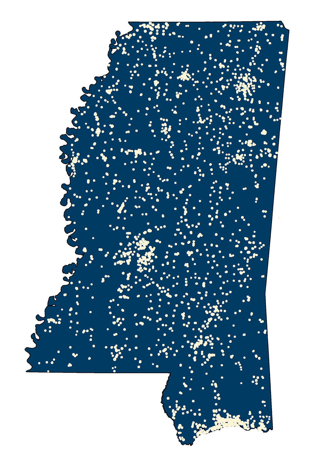
Buffers to monitor pollution sources around public supply wells.
Metadata
PDF Download
FY 2024 Statistics
July 1, 2023 - June 30, 2024
Hits: 24,889,152
Unique Visitors: 528,864
Files Downloaded: 18,223,620
Size of Download: 113,380 GB
Web Map Service Views: 13,802,161
Top 20 Web Map Services FY 2024
MS Redistricting 2022
MS County Boundaries 2015
MS Senate Districts 2022
MS Congressional Districts 2022
MS House Districts 2022
MS Senate Districts 2010
MS House Districts 2010
MS Voting Precincts Population and Housing 2020
MS CENSUS Incorporated Cities Population Housing 2020
MS TIGERRoads 2020
House Area Change March 2023
Senate Area Change 2023
MARIS GeoData
MS Local High Res Imagery by Region 2021
Mississippi Parcels 2023
WALTHALL PARCELS
TALLAHATCHIE PARCELS