National Wetlands Inventory

NWI digital data files are records of wetlands location and classification as developed by the U.S. Fish & Wildlife Service. The classification system was adopted as a national classification standard in 1996 by the Federal Geographic Data Committee.
Download Seamless MS Statewide Wetlands Data shapefile:
Sept. 2011 Update – 1.17GB: MS_shapefile_wetlands.zip
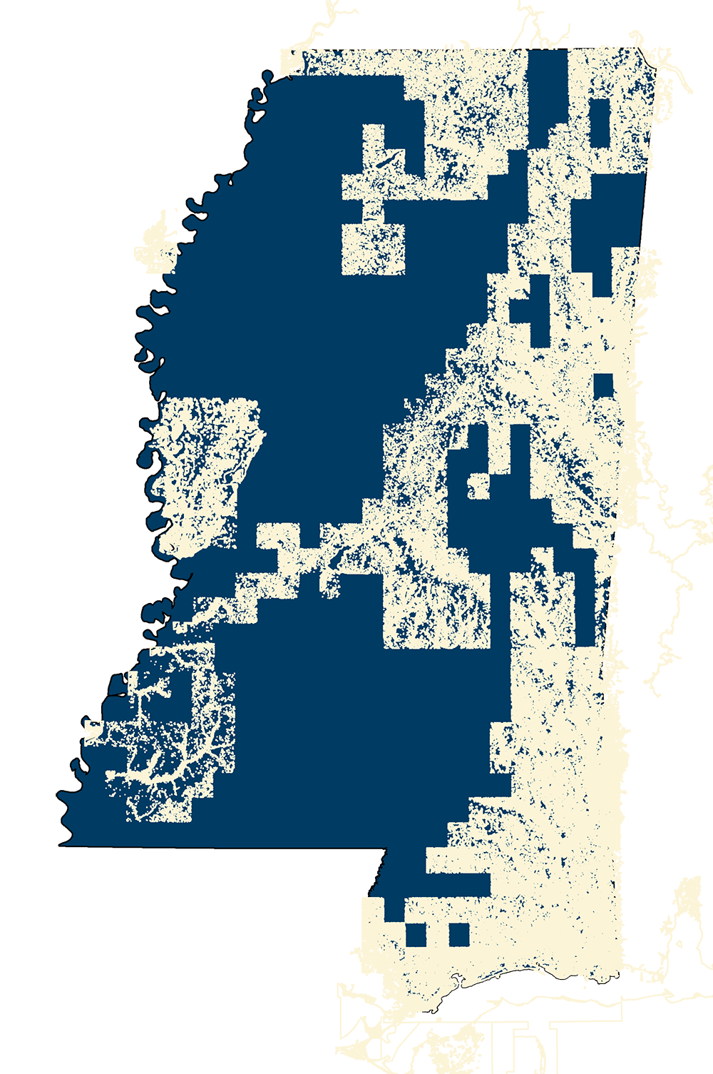
Status Map – NWI_Status.gif
For more information go to thw USFWS National Wetlands Inventory page:
USFWS NWI Webpage