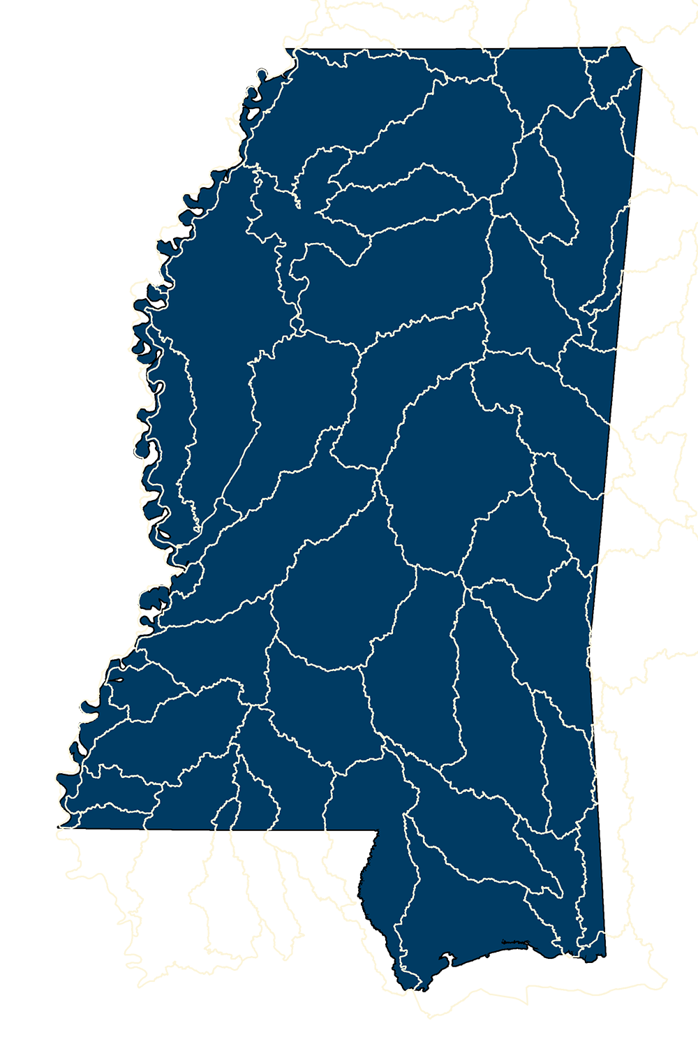
Hydrologic Units (Basin)
- MSTM Shapefile: MS_USGS8DigitWatersheds_2016.zip
- Current Data: 2019
The intent of defining Hydrologic Units (HU) within the Watershed Boundary Dataset is to establish a base-line drainage boundary framework, accounting for all land and surface areas. Hydrologic units are intended to be used as a tool for water-resource management and planning activities particularly for site-specific and localized studies requiring a level of detail provided by large-scale map information. The WBD complements the National Hydrography Dataset (NHD) and supports numerous programmatic missions and activities including: watershed management, rehabilitation and enhancement, aquatic species conservation strategies, flood plain management and flood prevention, water-quality initiatives and programs, dam safety programs, fire assessment and management, resource inventory and assessment, water data analysis and water census. **** NOTE - MARIS staff isolated those HUCs that involved Mississippi - January 2019 ****
Metadata PDF Download