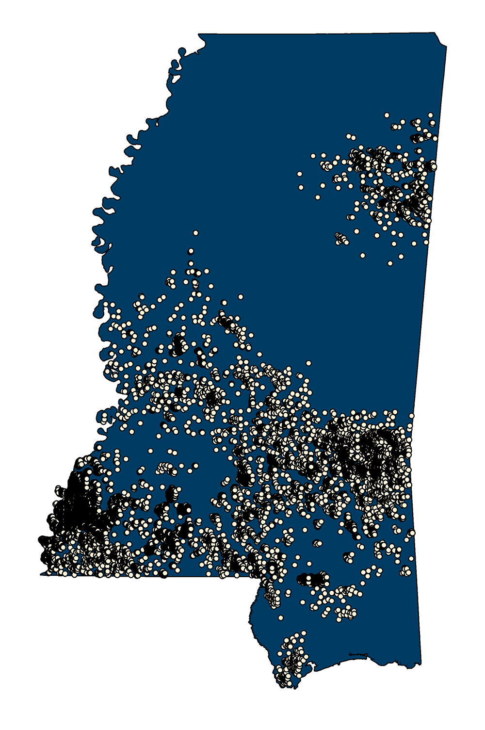
Mississippi State Oil and Gas Board Wells
- MSTM Shapefile: MS_OilnGasBoard_wells_Jul25.zip
- MSTM Shapefile: MS_OilnGasBoard_wells_otherfields_Jul25.zip
- Current Data: July 22, 2025
More information can be obtained here: MS Oil and Gas Board MS Oil and Gas Board Downloads
On the MS Oil and Gas Board webpage, the Well Shape Files ("WellShapeFiles") tab is for downloading ESRI GIS shape files. There are separate links for both well spots and APIs alone (*Well.zip) or for well spots, APIs and several other fields (*wells_otherfields.zip). The WellInfoList tab contains CSV files with information about all wells.
Legacy data
2016 - REST Endpoint Download PDF Metadata This data represents Oil and Natural Gas Wells. An Oil and Natural Gas Well is a hole drilled in the earth for the purpose of finding or producing crude oil or natural gas; or producing services related to the production of crude or natural gas. This data was derived from the Homeland Infrastructure Foundation-Level Data
Metadata PDF Download