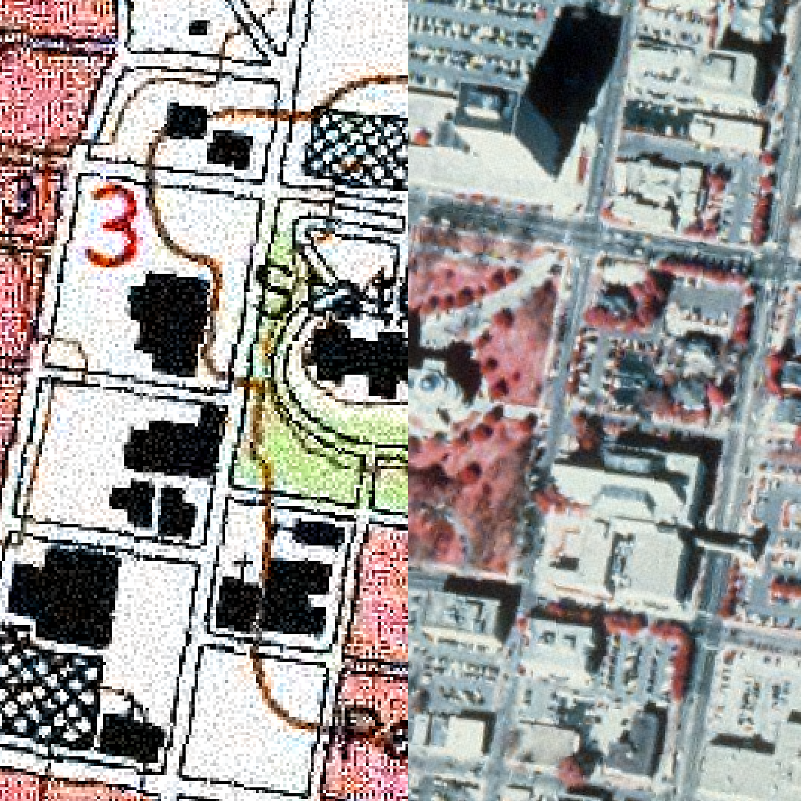
1996 USGS DOQQs - Digital Ortho Quarter Quads
Please choose which block degree:
3088 - 3089 - 3188 - 3189 - 3190 - 3191 - 3288 - 3289 - 3290 - 3291 - 3388 - 3389 - 3390
3391 - 3488 - 3489 - 3490
or
Please choose by name:
A - B - C - D - E - F - G - H - I - J - K - L - M - N - O - P - Q - R - S - T - U - V - W - X - Y - Z
Extensis - has a free
viewer (GeoViewer Pro) that allows you to work with .sid files.
County DOQQ’s are now available. These images were created from the 1 meter resolution quad files and mosaiced in ERDAS Imagine to an output resolution of 3 meters.
Some counties had black and white portions. Those files are named (countyname)bw.sid
(.sdw). Some counties were all black and white, this is due to the photography.
File sizes range from 1.5mb to 75mb. DOQQS's
were developed from aerial photography taken during the Winters of 1995 and
1996 under US Geological Survey's (USGS) National Aerial Photography Program
(NAPP). The NAPP photographs consist of 9 x 9 inch film images scaled
at 1:40,000 with each photo centered over one of the four quarters (NE,NW,SW,SE)
of a USGS 7.5 minute (1:24,000) topographic map. Four individual NAPP photos
are required to completely cover the area of a USGS 7.5 minute topographic
map.
To produce a DOQQ, the original 1:40,000 photography is reproduced as a 1:12,000
positive print which is scanned to produce a digital file with a ground resolution
of 1 meter. These 1st order files are ortho-rectified and output as
geotifs (over 150 MB each) referenced to UTM NAD83 coordinates.
The MARIS staff has mosaiced and projected the geotif files, in sets of four,
to create output files in MSTM coordinates that correspond to USGS 7.5 1:24,000
topographic maps. These composite files are compressed using MrSID compression
software. The files are stored by blocks designated by degrees of latitude
and longitude(for example - 3390 identifies maps with a longitude of 33 degree
and longitude of 90 degrees, etc.). Individual file names follow the USGS
naming scheme (3390a1c.sid, 3089g3c.sid, etc.) MrSid desiginates the image
file as a .sid file with an associated .sdw file as a world geo-reference
file. The .sid file is binary while the .sdw file is ASCII. These
files are not available in any other format or projection from the MARIS Technical
Center.
Color DOQs are designated by a "c" at the end of the file name (3389a1c.sid)
while black and white DOQs are just the file name. Some quads are partial
color and black and white. There will be both a .sid and c.sid file for these
quads.
For more information contact Steve Walker through telephone (601)432-6149 or email at: Email