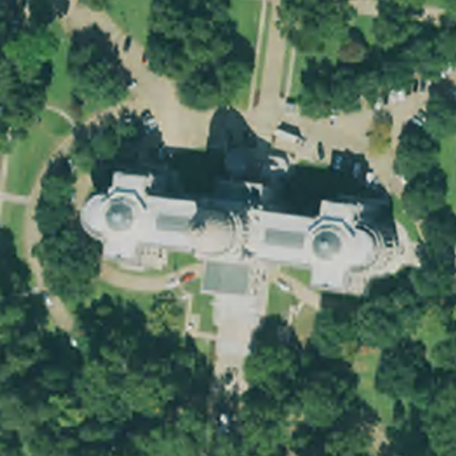
2023 Mississippi NAIP
- 60 cm (~ 2ft)
- Ortho Rectified 3-Band Compressed County Mosaics
Abstract:
This data set contains imagery from the National Agriculture Imagery Program (NAIP). The NAIP acquires digital ortho imagery during the agricultural growing seasons in the continental U.S. A primary goal of the NAIP program is to enable availability of ortho imagery within one year of acquisition. The NAIP provides 60-centimeter ground sample distance (GSD) ortho imagery rectified to a horizontal accuracy within +/- 4 meters of reference digital ortho quarter quads (DOQQ's) from the National Digital Ortho Program (NDOP) or from the National Agriculture Imagery Program (NAIP). The tiling format of NAIP imagery is based on a 3.75' x 3.75' quarter quadrangle with a 300-pixel buffer on all four sides. The NAIP imagery is formatted to the UTM coordinate system using the North American Datum of 1983 (NAD83). The NAIP imagery may contain as much as 10% cloud cover per tile. This file was generated by compressing NAIP imagery that cover the county extent. Two types of compression may be used for NAIP imagery: MrSID and JPEG 2000. The target value for the compression ratio is 40:1 for imagery. For further information concerning the NAIP, visit: USDA NAIP GeoHub
Each county packet contains a shapefile of Photo Dates - (IDATE attribute)
DOQQ Source Date: July - October 2023
File Structure: (County files ~ 600MB / Statewide ~ 43GB)
- <countyname>_NAIP_2023.sid - County mosaic image
- <countyname>_NAIP_2023.sdw - Mosaic world reference file
How to get the data
- Download the county files <countyname>_NAIP_2023.zip at: Download
- For entire state, send a 1TB (or larger) USB 2 or USB 3 external hard drive to:
Steve Walker, Suite 717
3825 Ridgewood Rd
Jackson, MS 39211
For more information contact Steve Walker through telephone (601)432-6149 or email: Email