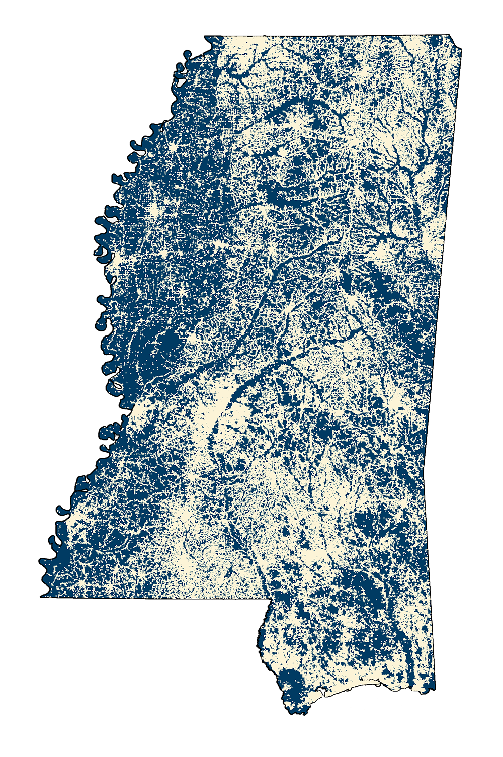
Building Footprints
- MSTM Shapefile: MS_BuildingFootprints_2022.zip
- Current Data: 2022
Building footprint polygons of Mississippi structures. This data was generated from BING raster imagery by Microsoft. MARIS downloaded and converted the Mississippi file from JSON format to a WGS84 shapefile using Mapshaper software. Next, MARIS projected the shapefile into MSTM projection. There are 1,507,496 polygons in this layer which is 36,312 more than the 2018 release. Date on update is April,2022. Most of the state is from the 2018 release. Updates were mostly made in Southwest MS and the Coast between 2018 and 2021. Some other buildings were added in metro areas.
- MSTM Shapefile: MS_BuildingFootprints_2018.zip
- Current Data: 2018
Building footprint polygons of Mississippi structures. This data was generated from BING raster imagery by Microsoft. MDEQ Office of Geology downloaded and converted the Mississippi file from JSON format to a WGS84 shapefile using Mapshaper software. Next, MDEQ Office of Geology projected the shapefile into MSTM projection. Staff then added attributes : area in square feet, perimeter in feet, and county name. There are around 1,500,000 polygons in this layer. Next an Identity with county borders was run. A few polygons were across county lines. MDEQ made the call on which county to give the business to. MARIS received this shapefile from MDEQ and added metadata. Date on update is July 13,2018. *** MDEQ Office of Geology added elevation attribute in April 2019.
Metadata 2022 PDF Download 2018 PDF Download