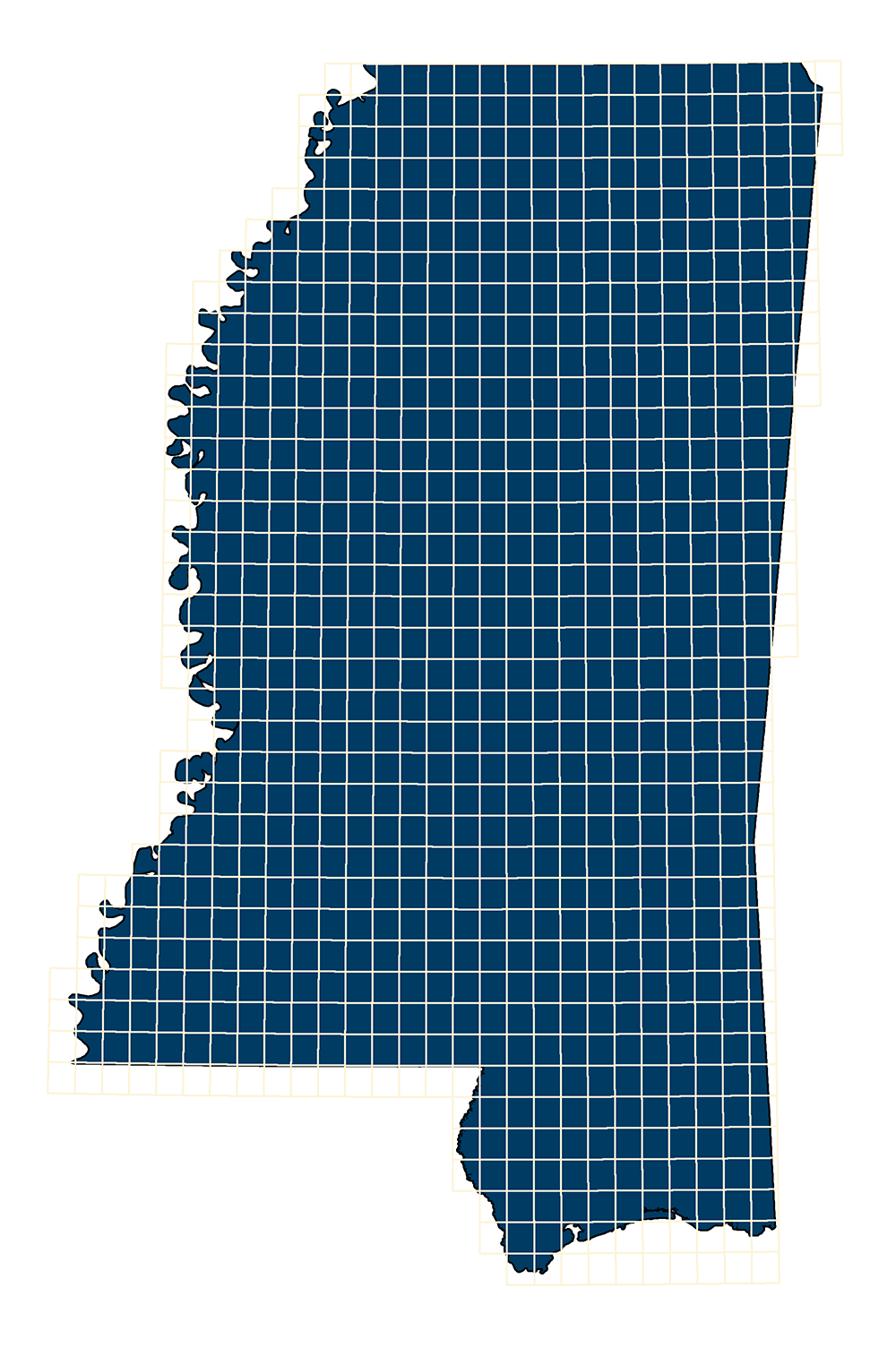
USGS Quadrangle Grid
- MSTM Shapefile: MS_USGSQuadrangleGrid_2008.zip
- Current Data: 2008
Mississippi statewide GIS polygon dataset of the U.S. Geological Survey 1:24,000 topographic map boundaries and map names.
Metadata PDF Download

Mississippi statewide GIS polygon dataset of the U.S. Geological Survey 1:24,000 topographic map boundaries and map names.
Metadata PDF Download