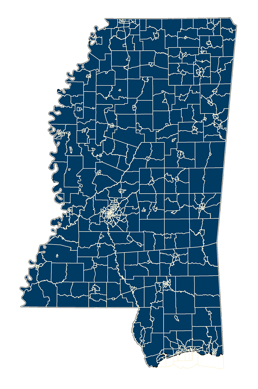
2020 Population Density by Tract
- MSTM Shapefile: MS_CENSUSTractsPopulationDensity_2020.zip
- Current Data: 2021
MS Tracts 2020 with Population Density - This layer was created by MARIS staff October 2021. We added the ALAND20 and AWATER20 values to get total area of the polygon in square meters. Then divided this by 2589988.1103 to convert to square miles (formula from ANSII). Then we divided the attribute P0010001 (total population) by the newly calculated number of square miles to get population density.
Metadata PDF Download