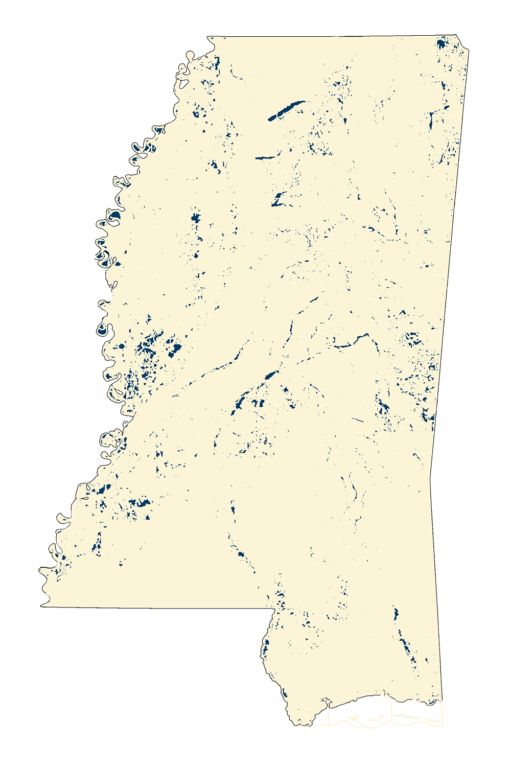
County/Statewide Soil Survey (SSURGO)
REST Endpoint (2020) .zip County files (2017)
October 2018: MARIS, in October 2018, using the official county releases as of June 2017 from the USDA NRCS, created a new statewide file. The Import template for Access 2003 was loaded and the data table muaggatt was joined with the map unit shapefile soilmu_a_ms on the fields Symbol and MapSym. The shapefile was exported to form this shapefile to keep the joined attributes. All metadata from USDA was loaded (XML).
July 2020: Statewide Shapefile (~ 1 GB) - Metadata PDF Download
June 2017: Updated files for Chickasaw, Coahoma, and Pontotoc.
Projection: Data is in Latitude/Longitude NAD 83 Decimal Degrees
Sample Metadata: Adams County metadata PDF Download
Sample Map: Adams County soils JPG Download
Visit the Natural Resource Conservation Service for more information Website
