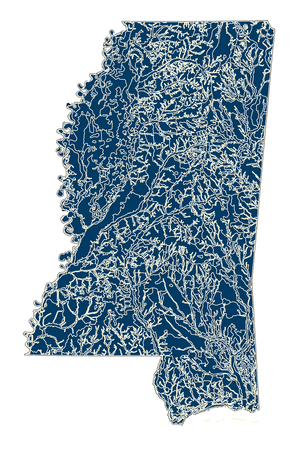
STATSGO2
- MSTM Shapefile: MS_STATSGO2_2016.zip
- Current Data: 2016
These data provide information about soil features on or near the surface of the Earth. Data were collected as part of the National Cooperative Soil Survey. These data are intended for geographic display and analysis at the state, regional, and national level. The data should be displayed and analyzed at scales appropriate for 1:250,000-scale data.
Note: The REST Endpoint is combined with SSURGO data.
Metadata PDF Download