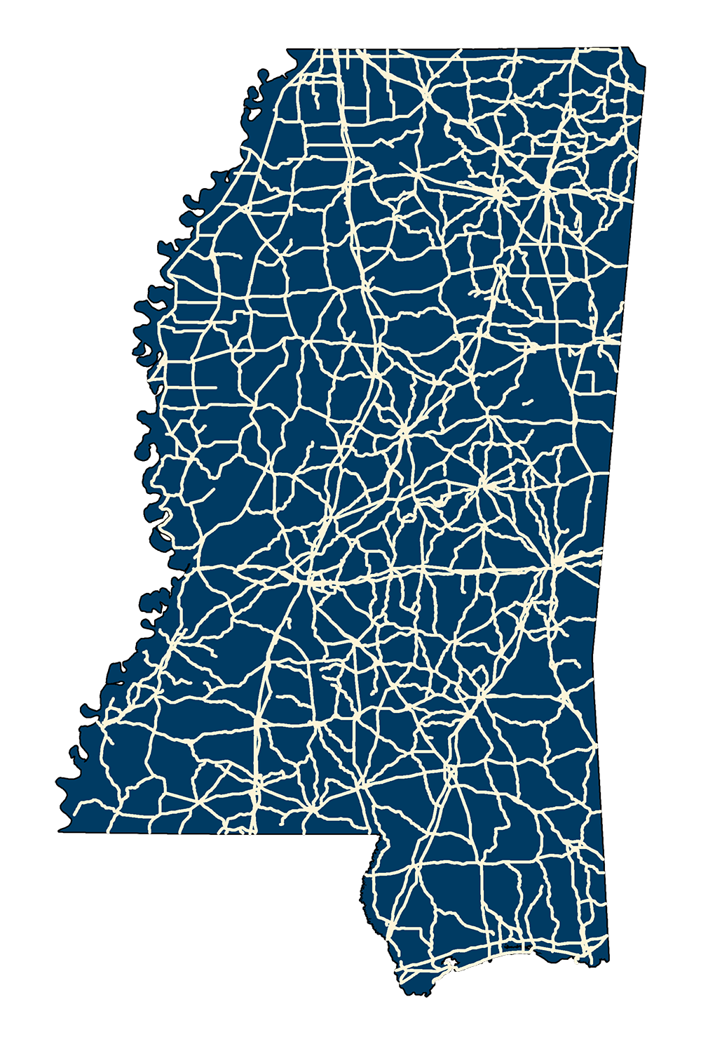
Designated Highways
- MSTM Shapefile: MS_DesignatedHighways_2010.zip
- Current Data: 2010
GIS Vector data set of Interstates, U.S. Highways, Mississippi State Highways, the Natchez Trace Parkway, and exits created, edited, and additional attributes added by MARIS staff.
Note: This dataset should be used in conjunction with Streets and Trails data sets to form a complete road network. Also, this dataset does NOT include address range data. For geocoding, use the 2010 TIGER Roads with Address Ranges dataset.
Metadata PDF Download