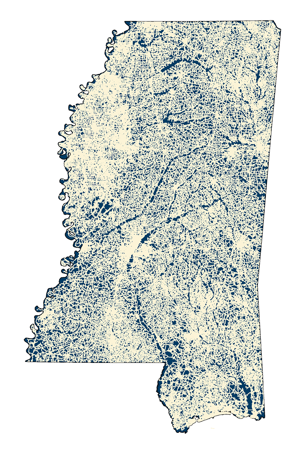
TIGER Roads 2010
- MSTM Shapefile: MS_TIGERRoads_2010.zip
- Current Data: 2010
Statewide County Roads extracted from the US Census Bureau 2010 TIGER Line files. MARIS coded all TIGER roads based on US Census' Bureau's MTFCC attribute along with the MS Department of Transportation County Highway maps (2006-2010) as follows: 1 - Interstates, 2 - US Highways, 3 - MS Highways 1- 99 , 4 - MS Highways 100 - 999, 5 - Natchez Trace, 6 - County Roads, 8 - Trails . MARIS also distinguished between city streets and county roads by running an IDENTITY command with the TIGER 2010 City boundaries layer. Those county roads inside city limits were then coded as Class = 7.
Note: This dataset should be used in conjunction with DESIGNATED HIGHWAYS and TIGER STREETS TRAILS 2010 data sets to form a complete road network. Also note this dataset does NOT include address range data.
Metadata PDF Download