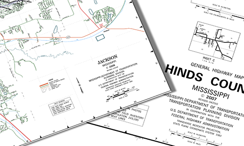
Printable Maps
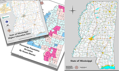

Miscellaneous Maps
MARIS is one of Mississippi's mapping agencies and provides a variety of online maps. The Technical Center has the ability to produce maps of varying sizes and datasets, many of which can be saved or printed from your computer.
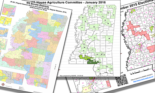

Political
MARIS creates and maintains a variety of current and legacy political maps ranging from Mississippi House and Senate Committee maps to District maps.
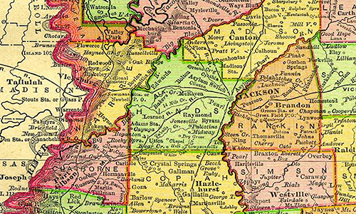
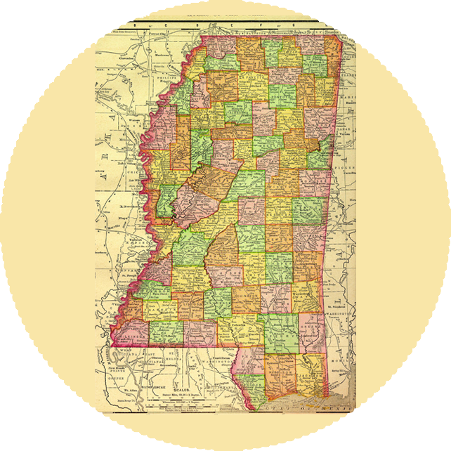
Historic Maps
Mississippi Department of Archives and History Visit Site
Historical Soil Survey Maps located at the University of Alabama Visit Site
