
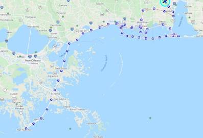
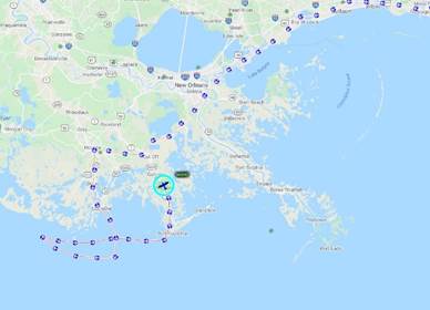
MS NOAA – Hurricane Zeta Imagery - Flown October 29, 2020
This data represents the MS portion only
of the NOAA October 29,2020 imagery flown by that morning. The data is in
WGS84 with a resolution of 0.186 meters ( ~ 7.3 inches).
MARIS
isolated MS tiles of the coastline and barrier islands for BOTH flights and
mosaicked into two .sid files
FLIGHT 1- covers the outer coast from Port Fourchon to
Grand Isle, LA and the outer coast of Mississippi and Alabama west of Mobile
Bay including the barrier islands. We have some trouble processing the oblique
cameras which will be available later but have provided the nadir imagery
at this time. Download MS Portion -Flight 1 (15 GB)
FLIGHT 2- covers the
approaches and ports of Port Fourchon, Gulfport, Mississippi Delta, and
GIWW.
Download MS Portion -Flight 2 (15 GB)
**** NOAA has a web service for ALL
the imagery at: ****
https://storms.ngs.noaa.gov/storms/zeta/index.html#7/30.105/-89.495
For
more information, contact Mike Aslaksen - Mike.Aslaksen@noaa.gov