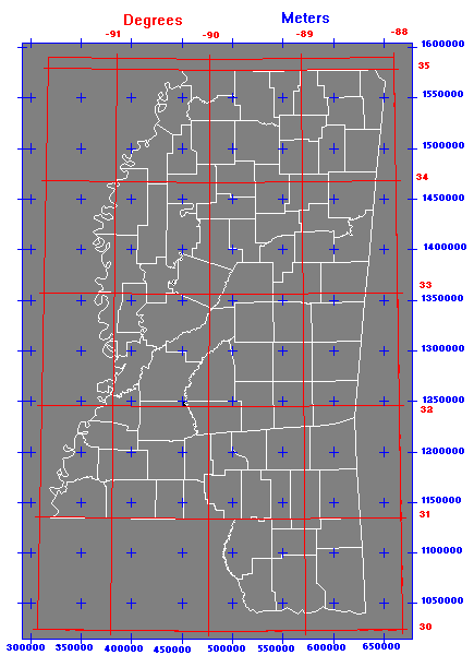
Mississippi Transverse Mercator (MSTM) Projection
The MARIS Technical Center (MTC) and the Mississippi Department of Transportation (MDOT) jointly developed a map projection for Mississippi called the Mississippi Transverse Mercator (MSTM) Projection. When viewing geographic data on a statewide level, the MSTM projection alleviates the multiple-zone conflict inherent in UTM and State Plane systems. The problem with both of these systems is that each divides the state into an east and west zone that cannot be digitally displayed together.
The MSTM projection is a customized Transverse Mercator projection designed to more evenly distribute convergence and scale-factor, and is based on the North American Datum of 1983 (NAD83). The projection parameters of the MSTM projection are as follows:
- Scale Factor: 0.9998335
- Central Meridian: -89 45' 00''
- Central Latitude: 32 30' 00''
- False Northing: 1,300,000 meters
- False Easting: 500,000 meters
- Projection Units: meters
- Spheroid: GRS80
- Datum: NAD83

This projection is used by both MTC and MDOT for the development and storage of geographic data. The MTC can and does receive and distribute data in a number of other projections, however, the MARIS Technical Center and MDOT encourage the use of the MSTM projection.
More information regarding the development of the MSTM projection and its projection parameters may be obtained by contacting MARIS at 601-432-6128.