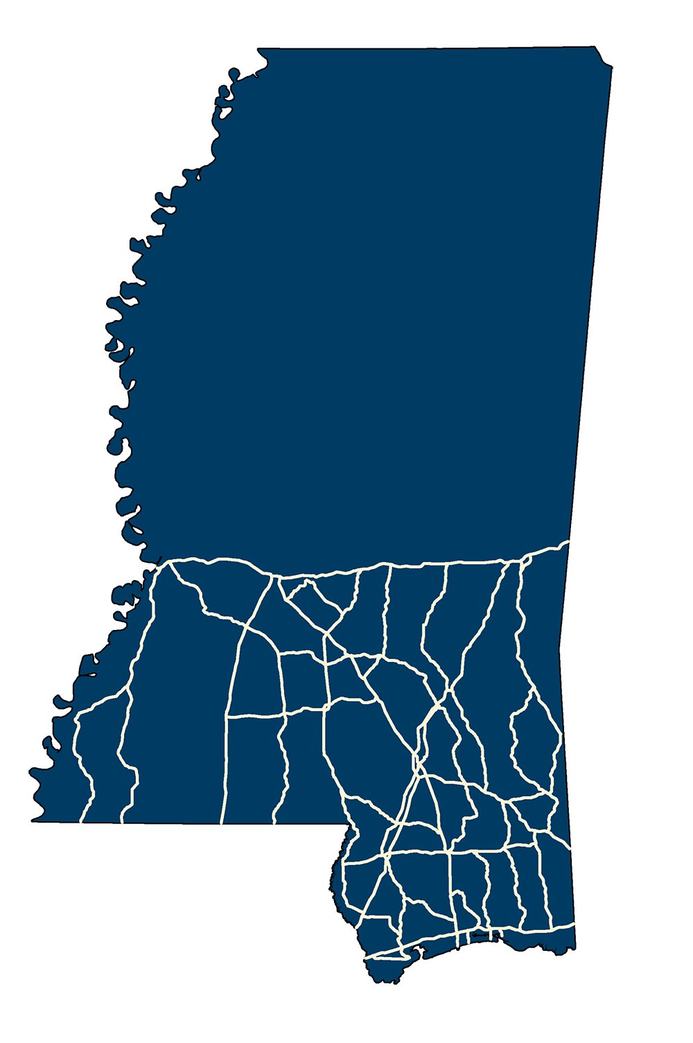
Hurricane Evacuation Routes
- MSTM Shapefile: MS_HurricaneEvacuationRoutes_2007.zip
- Current Data: 2007
This dataset represents hurricane evacuation routes in the United States. A hurricane evacuation route is a designated route used to direct traffic inland in case of a hurricane threat. This dataset is based on supplied data from gulf coast and Atlantic seaboard states. Each state was contacted by TGS to determine an official source for hurricane evacuation routes. GIS data were gathered from states willing to share such data. In cases where states were unable, or unwilling to share data in this format, TGS requested that the states provide a source for identifying hurricane evacuation routes. The states usually identified a website that made this data available to the public. Shapefiles that depicted hurricane evacuation routes were edge matched and merged with the digitized evacuation routes. All routes identified as primary hurricane evacuation routes were included in this dataset. If a state also designated secondary hurricane evacuation routes, they were included as well. Routes depicted in this dataset are dependent upon what each state identified as a hurricane evacuation route. Criteria used to identify these routes may vary from state to state.
Metadata PDF Download