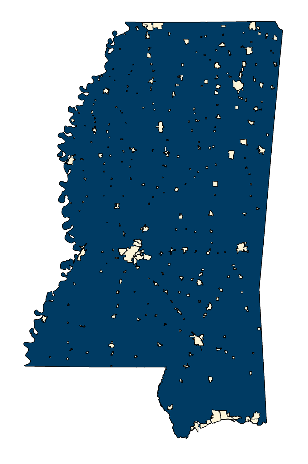
CENSUS Incorporated Cities 2000
- MSTM Shapefile: MS_CENSUSIncorporatedCities_2000.zip
- Current Data: 2007
The TIGER/Line Shapefiles are an extract of selected geographic and cartographic information from the Census MAF/TIGER database. The Census MAF/TIGER database represents a seamless national file with no overlaps or gaps between parts. However, each TIGER/Line Shapefile is designed to stand alone as an independent data set or the shapefiles can be combined to cover the whole nation. NOTE: This shapefile contains only the incorporated places as found by extracting CLASSFP = 'C1'.
Metadata TXT Download