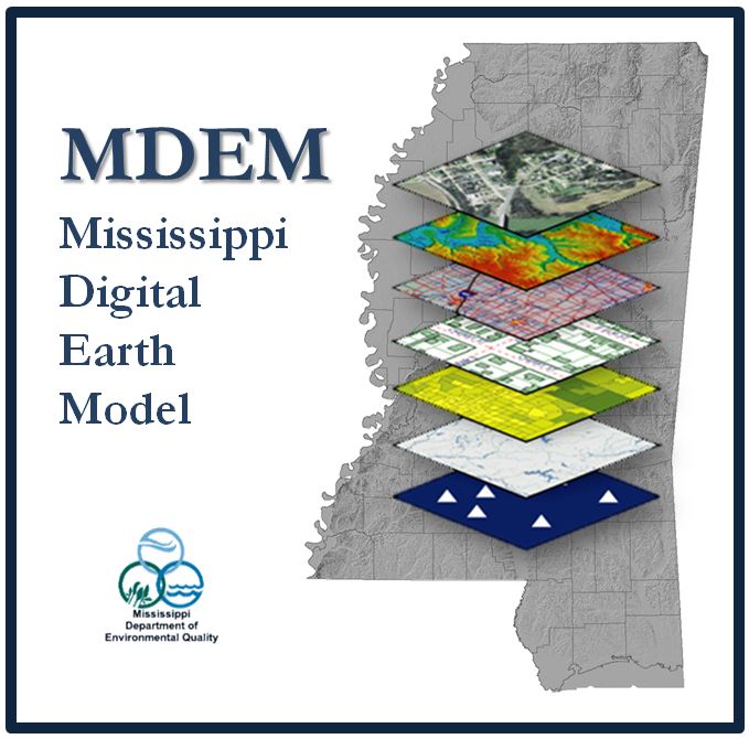
Mississippi Digital Earth Model (MDEM)
NOTE: If there are any issues with the data, MARIS will direct you to the appropriate entity that created the data so that they may be resolved.
The Mississippi Legislature, in its 2003 regular session, passed House Bill 861 to establish the Mississippi Coordinating Council for Remote Sensing and Geographic Information Systems. It also charged the Mississippi Department of Environmental Quality to manage the development of a digital land base computer model of the State of Mississippi, to be called the Mississippi Digital Earth Model (MDEM) which includes seven core data layers of a digital. Below are the layers that can be considered as part of MDEM:
 More information on MDEQ webpage MDEM 2024 Inventory PDF
