Elevation
NOTE: If there are any issues with the data, MARIS will direct you to the appropriate entity that created the data so that they may be resolved.
USGS 3DEP Viewer (external weblink)
(some services are not cached and may be slow)
Elevation Projects - This data is from a variety of projects from the MS Department of Environmental Quality, USACE, USGS, FEMA, and NRCS, NOAA, National Park Service, TVA, and the US Army to develop LIDAR, DEMs, and Contours. LIDAR which stands for Light Detection and Ranging, is a remote sensing method that uses light in the form of a pulsed laser to measure ranges (variable distances) to the Earth. These light pulses "combined with other data recorded by the airborne system" generate precise, three-dimensional information about the shape of the Earth and its surface characteristics. MARIS has available for delivery LIDAR data for ALL parts of the state.
A Digital Elevation Model (DEM) is a raster cartographic/geographic dataset of elevations in xyz grids representing the surface of an area.
These projects span from 2005-2020 and contains LIDAR files, DEMS, and contours.
LIDAR Project Status Map Coastal MS LIDAR Project Areas- MDEM Statewide LIDAR Color DEM (MapServer)
Contours and DEMs - Mississippi 1:24,000 USGS topographic hypsography reprocessed contours. Contour intervals are 5, 10 or 20 feet depending on the area of the state. Supplemental contours (where applicable) are 5 or 10 feet. The MARIS Technical Center, under contract with USGS, reprocessed the contour data. NOTE: During September 2014, MARIS staff reevaluated all county contour files. The TYPE attribute was checked to make sure coding was correct for 1 - Index, 2 -Intermediate, and 3 - Supplemental contours. During this process, edits were also made for any errors in elevation that were easily recognized. A statewide file is now available along with a Map Service. Products include county contours and statewide 10 meter DEM.
Imagery Based Elevation - The MS Department of Environmental Quality developed imagery-based elevations based on the 2005/ 2006 two-foot imagery. Products include 2 foot contours for Coastal Post Katrina, County 5 foot, and Coastal 2 and 5 foot contours.
2019-2020
Data Directories
DEM 167 GB LIDAR 5.37 TBTiling Scheme
Tiles by County
UTM 15 REST Endpoint
UTM 16 REST Endpoint
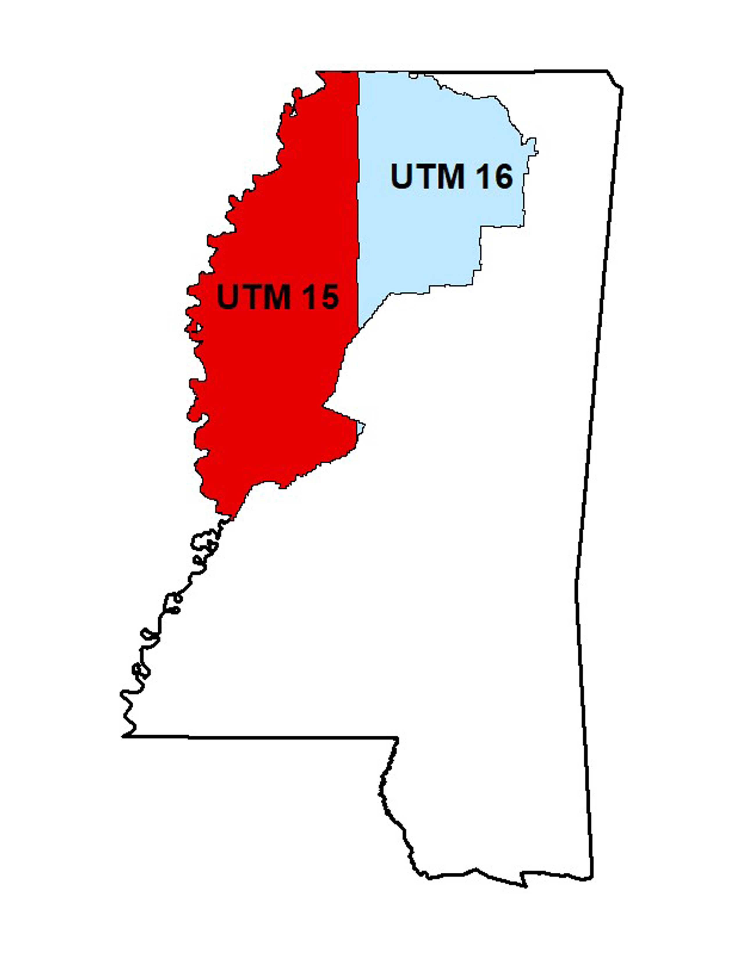
- Project Name: USGS MS Delta
- Collection Year: 2019-2020
- Projection: NAD 1983 (2011) UTM Zones 15N and 16N
- Point Spacing: 0.7 meters, QL2
- Vertical Datum: NAVD88 GEOID12b
- Vertical Units: Meters
- Horizontal Datum: NAD83 2011
- Products Available: LIDAR Point Cloud Classified 0.7m LAS v1.4, 1 meter DEM Bare Earth (.img)
- Point Cloud: Classified
Data Directories
Contour 42 GB DEM 52 GB LIDAR 2.4 TB
Central NRCS REST Endpoint
Tenn.-Tom NRCS REST Endpoint
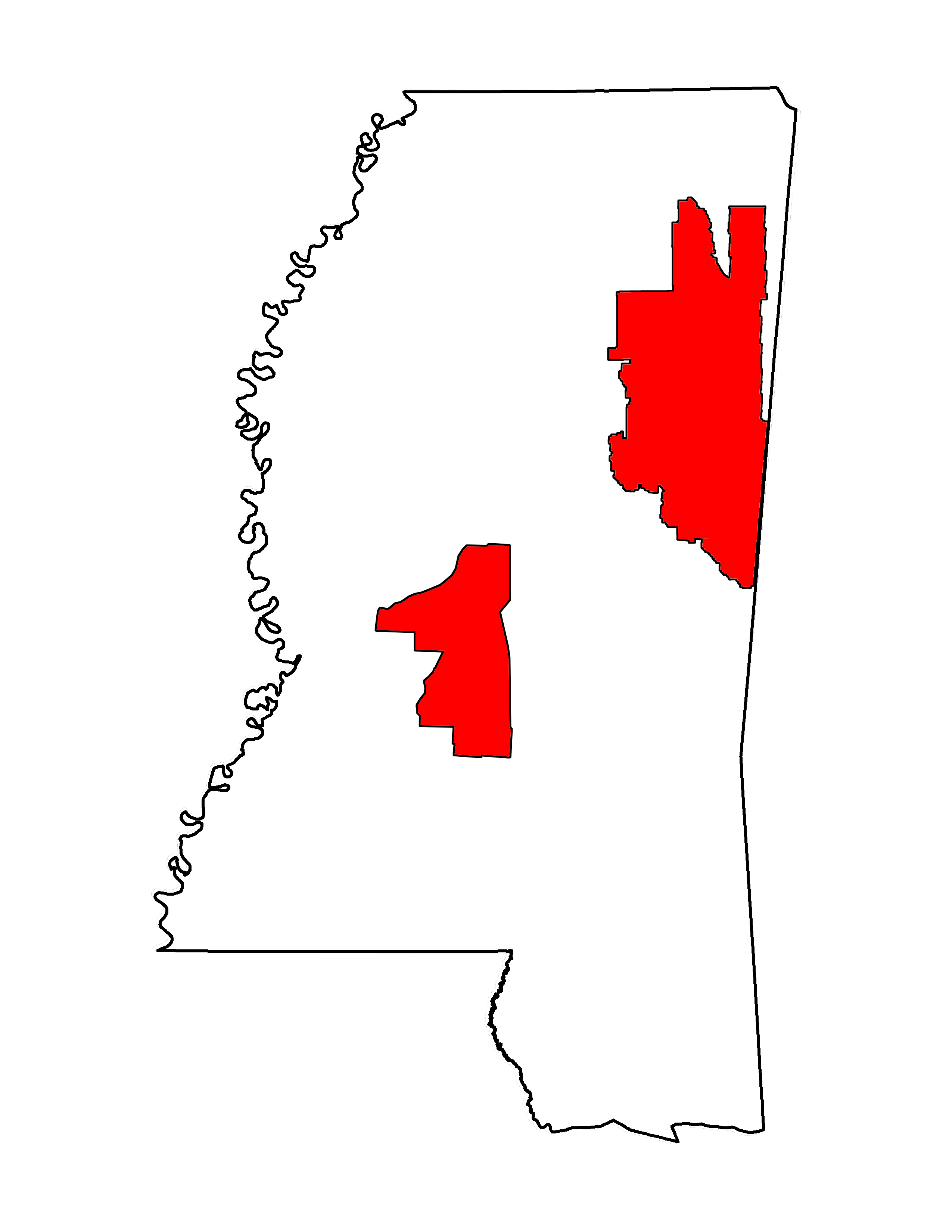
- Project Name: NRCS and USGS East MS
- Collection Year: 2019-2020
- Projection: NAD 1983 (2011) UTM Zones 15N and 16N
- Point Spacing: 0.7 meters, QL2
- Vertical Datum: NAVD88 GEOID12A
- Vertical Units: Meters
- Horizontal Datum: NAD83 2011
- Products Available: LIDAR Point Cloud Classified 0.7m LAS v1.3, 1 meter DEM Bare Earth (.tif), 1 foot Contours (geodatabase)
- Point Cloud: Classified
2019
This links to the files that make up the 2019 USACE NCMP Topobathy Lidar: Gulf Coast (MS) dataset.
Points: Custom Download Bulk Download
DEMs: Custom Download Bulk Download
2018
This links to the files that make up the 2018 LADOTD LIDAR: Amite Watershed (LA, MS) dataset.
This links to the files that make up the 2018 USACE NCMP Topobathy Lidar: Gulf Coast (AL, MS) dataset in an orthometric vertical datum North American Vertical Datum of 1988 (NAVD88) using GEOID12B.
Because of issues with the data, MDEQ has requested this project be removed.
For more information please contact:
Mississippi Department of Environmental Quality
Geospatial Resources Division
700 North State St.
Jackson, MS 39202
(601) 961-5171
2016
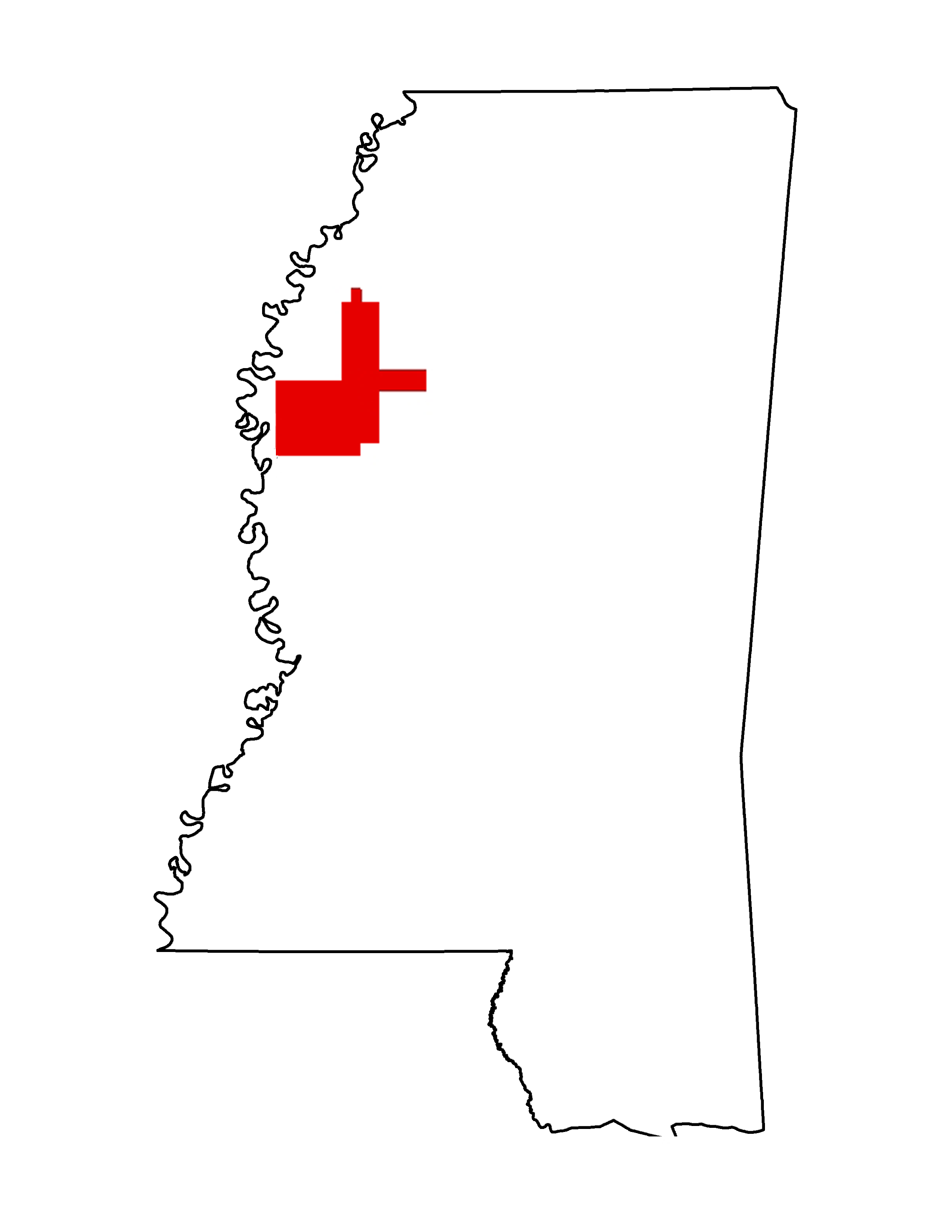
- Project Name: MDEQ/NPS/USGS Camp Shelby
- Collection Year: 2016
- Projection: NAD 1983 (2011) State Plane MS East US Survey Feet
- Zone: SP East
- Point Spacing: 0.7 meters, QL2
- Vertical Datum: NAVD88 GEOID12A
- Vertical Units: Meters
- Horizontal Datum: NAD83 2011
- Products Available: LIDAR Point Cloud Classified 0.7m LAS v1.4, 1 meter DEM Bare Earth (.img), 1 foot Contours (geodatabase)
- Point Cloud: Classified

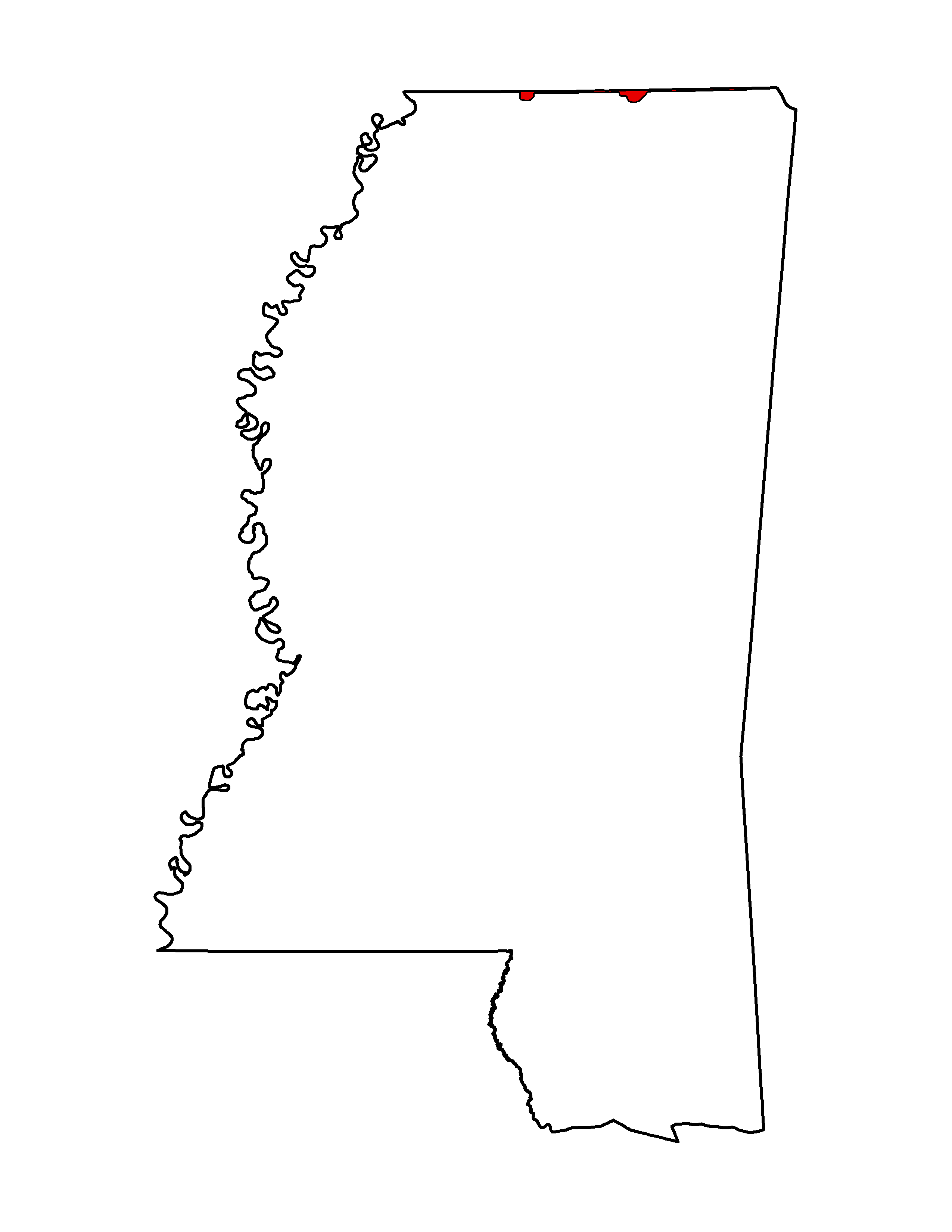
- Project Name: NRCS MS/TN Border 2016
- Collection Year: 2016
- Projection: NAD 1983 (2011) UTM Zone 16 N meters
- Zone: UTM Zone 16 N
- Point Spacing: 0.7 meters, QL2
- Vertical Datum: NAVD88 GEOID12B
- Vertical Units: Meters
- Horizontal Datum: NAD83 2011
- Products Available: LIDAR Classified Point Cloud 0.7 m LAS v1.4; 1 meter DEM Bare Earth (ESRI GRID format)
- Point Cloud: Classified
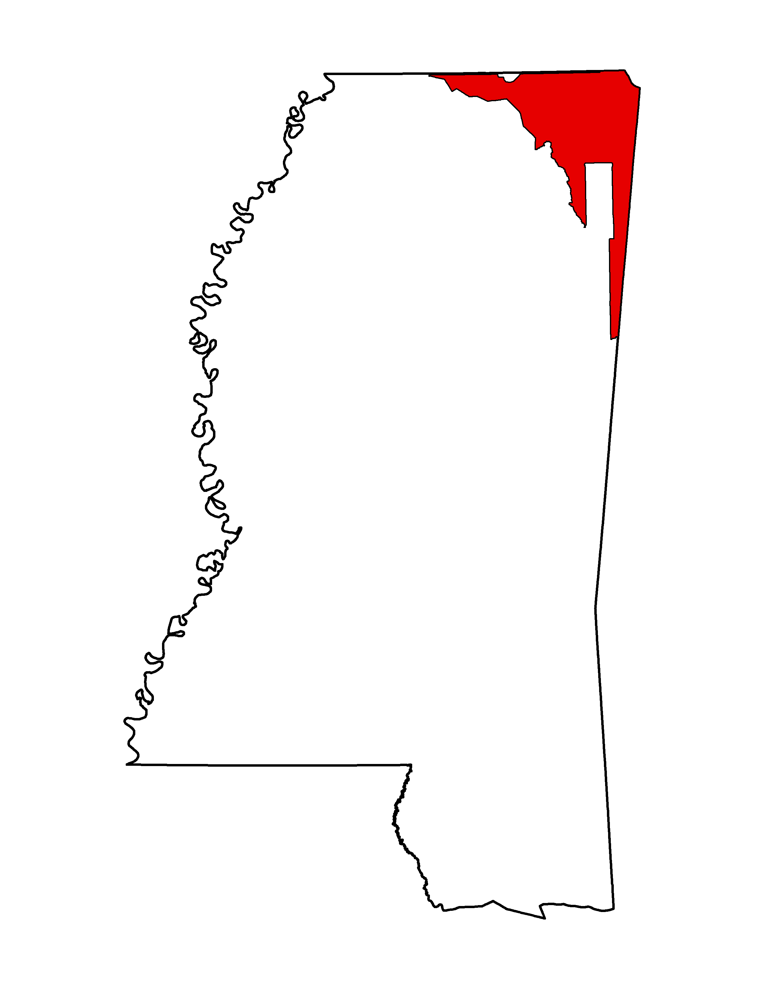
- Project Name: NRCS/TVA/NPS/3DEP/FEMA North East MS
- Collection Year: 2016
- Projection: NAD 1983 (2011) UTM Zone 16 N meters
- Zone: UTM Zone 16 N
- Point Spacing: 0.7 meters, QL2
- Vertical Datum: NAVD88 GEOID12A
- Vertical Units: Meters
- Horizontal Datum: NAD83 2011
- Products Available: LIDAR Classified Point Cloud 0.7 m LAS v1.4, 1 meter DEM Bare Earth (.img), 1 foot Contours (geodatabase)
- Point Cloud: Classified
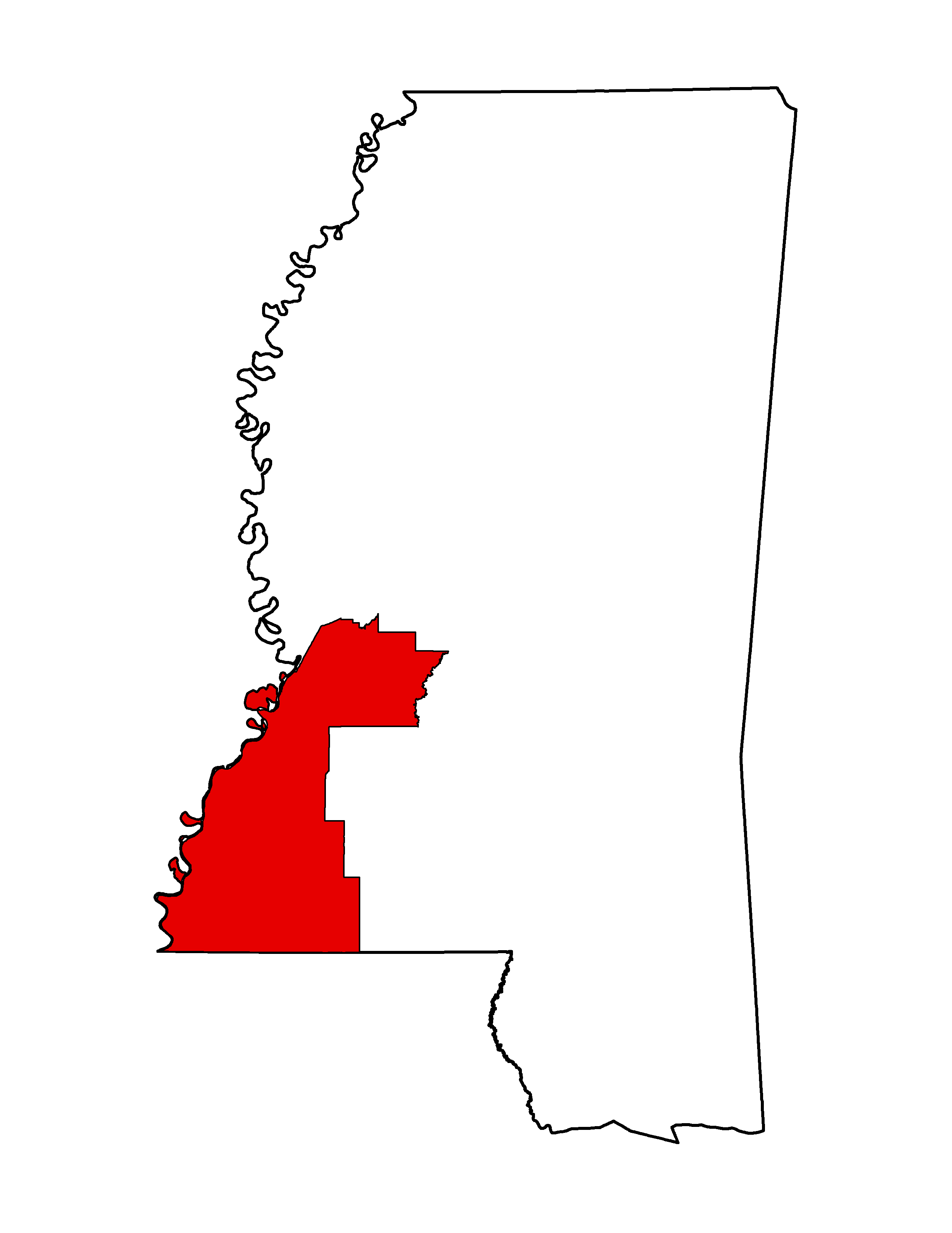
- Project Name: NRCS 3DEP Southwest MS 2016
- Collection Year: 2016/2017
- Projection: NAD 1983 (2011) UTM Zone 15 N meters
- Zone: UTM Zone 15 N
- Point Spacing: 0.7 meters, QL2
- Vertical Datum: NAVD88 GEOID12A
- Vertical Units: Meters
- Horizontal Datum: NAD83 2011
- Products Available: LIDAR Classified Point Cloud 0.7 m LAS v1.4; 1-meter DEM Bare Earth (ERDAS .img format); bridge breaklines; 1 ft. contours
- Point Cloud: Classified
2015
Data Directories
Contour 8 GB DEM 25 GB LIDAR 1.4 TBTiling Scheme
Sample Metadata  Tiles by County
Updated Tiles (Sep. 2016)
- Project Name: MDEQ Coastal MS
- Collection Year: 2015
- Projection: MS State Plane East US Survey Feet
- Zone: East MS
- Point Spacing: 0.7 meters
- Vertical Datum: NAVD88
- Vertical Units: Feet
- Horizontal Datum: NAD83 2011
- Products Available: Classified LAS, 4 feet DEM Bare-Earth, 1 foot Contours
- Point Cloud: Classified
NOTE: Some software packages do not support these .las 1.4 files. (ArcGIS 10.2, etc...). To convert, use las2las from LAStools - Click here for instructions...
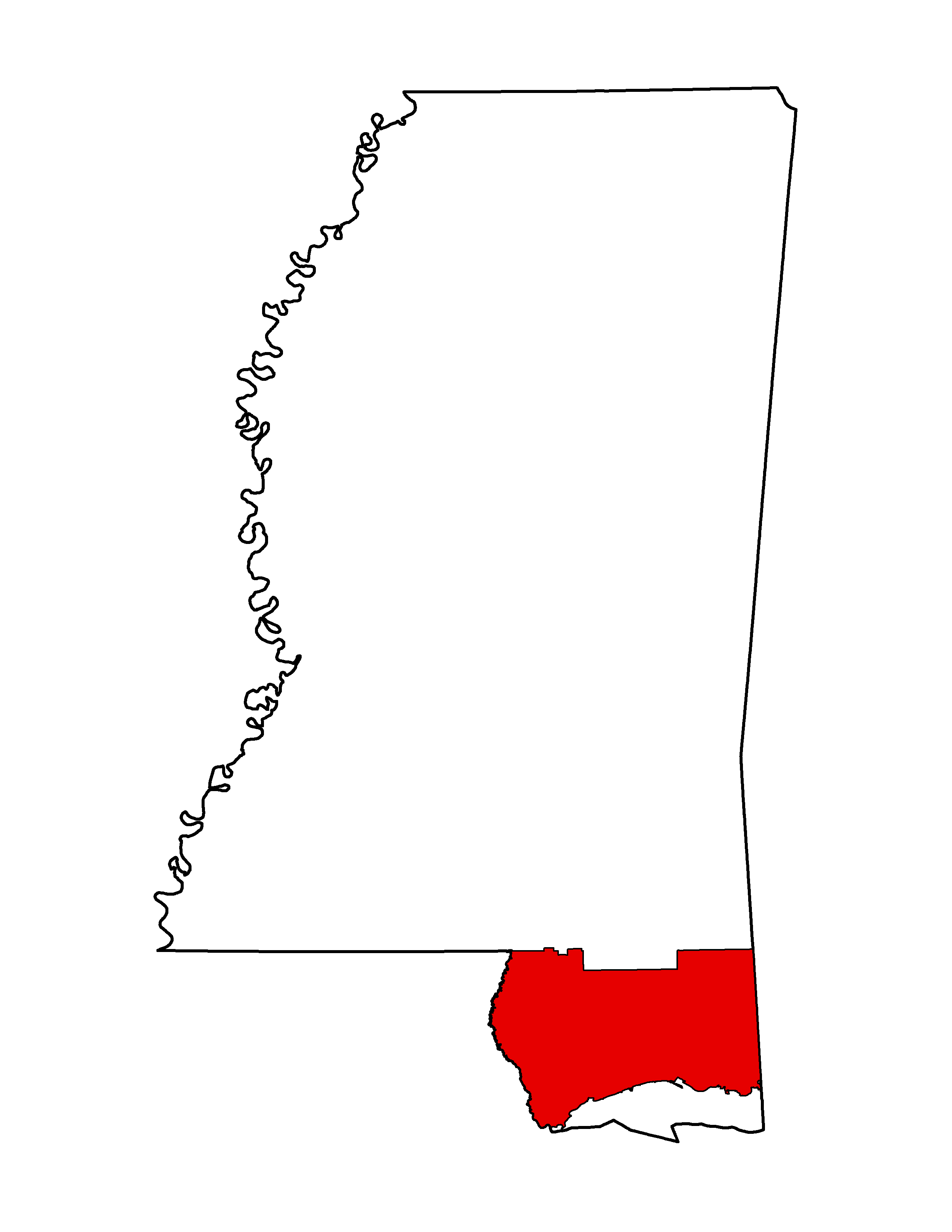
- Project Name: USGS Gulf Islands- Coastal MS
- Collection Year: 2015
- Projection: NAD 1983 UTM Zone 15 N
- Zone: East MS
- Point Spacing: 0.7 meters
- Vertical Datum: NAVD83 GEOID12A
- Vertical Units: Meters
- Horizontal Datum: NAD83 2011
- Products Available: Classified LAS, 1 meter DEM Bare Earth
- Point Cloud: Classified
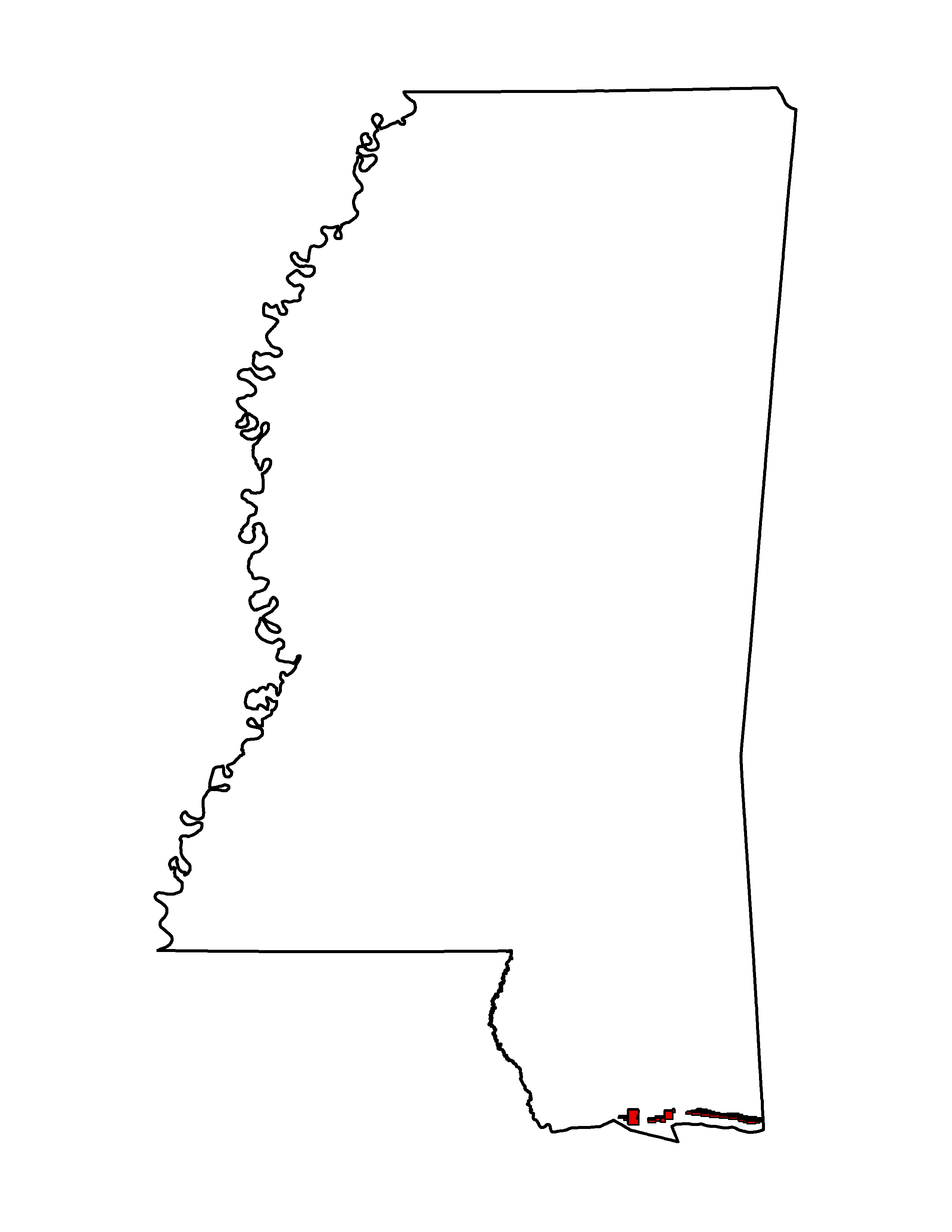
Tiling Scheme
- Project Name: 3DEP Co-Op South Central
- Collection Year: 2015
- Projection: NAD 1983 (2011) UTM Zone 15 & 16 N, meters
- Zone: UTM Zone 15 & 16 N
- Point Spacing: 0.7 meters, QL2
- Vertical Datum: NAVD88 GEOID12A
- Vertical Units: Meters
- Horizontal Datum: NAD83 2011
- Products Available: Classified LAS v1.4, 1 meter DEM Bare Earth
- Point Cloud: Classified
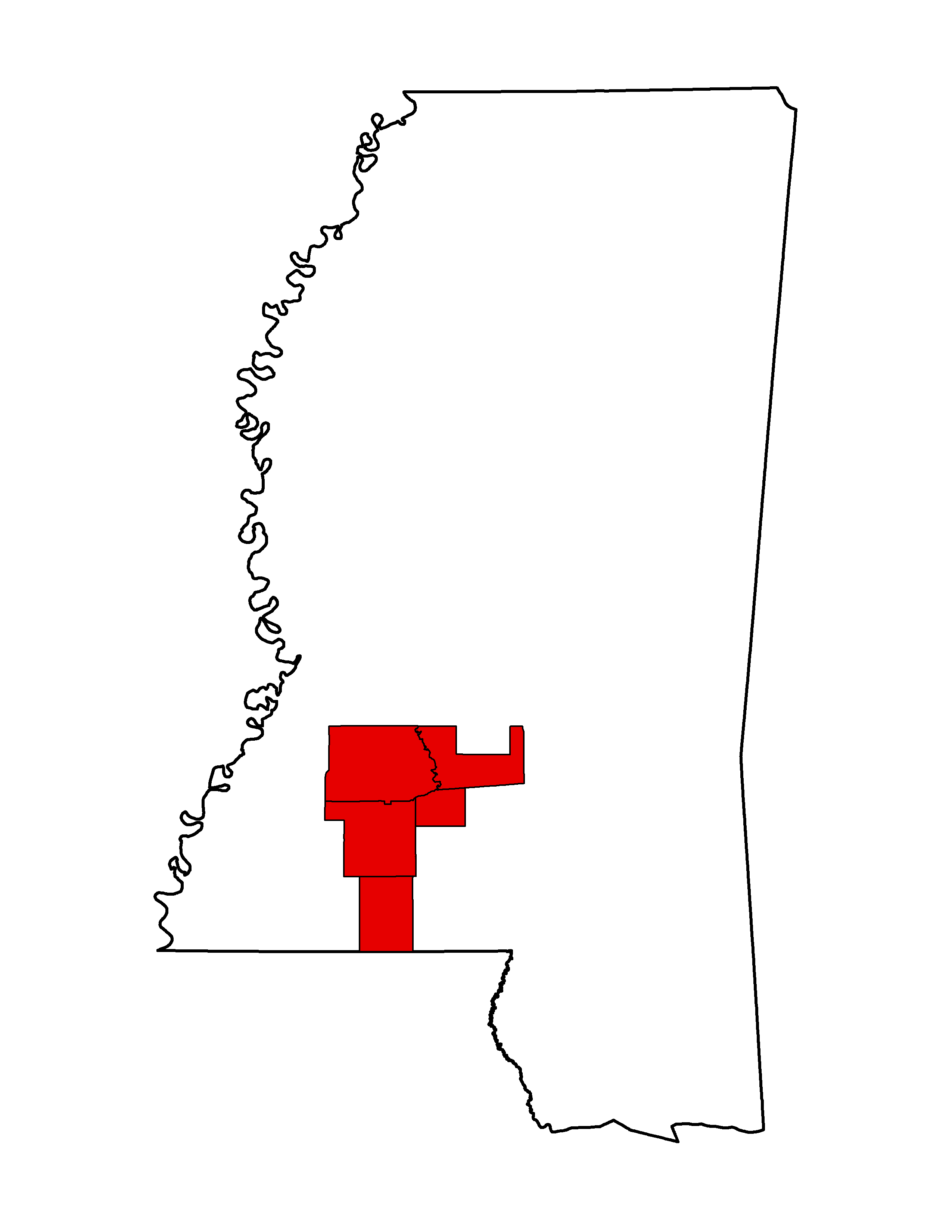
Tiling Scheme
- Project Name: NRCS Southeast MS
- Collection Year: 2015
- Projection: UTM
- Zone: UTM Zone 15 & 16 N
- Point Spacing: 0.7 meters
- Vertical Datum: NAVD88
- Vertical Units: Meters
- Horizontal Datum: NAD83 2011
- Products Available: Classified LAS, 1 m DEM bare-earth
- Point Cloud: Classified
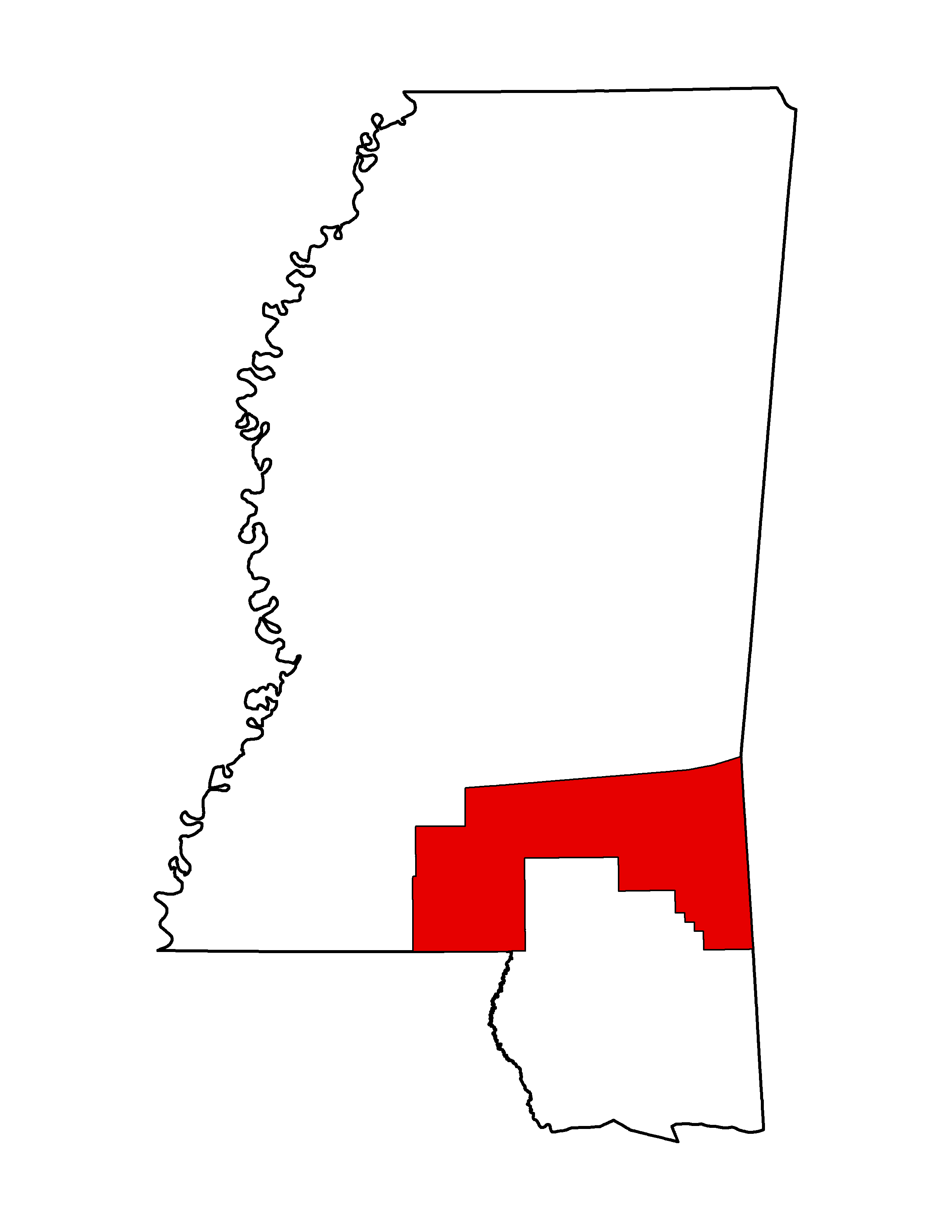
2014
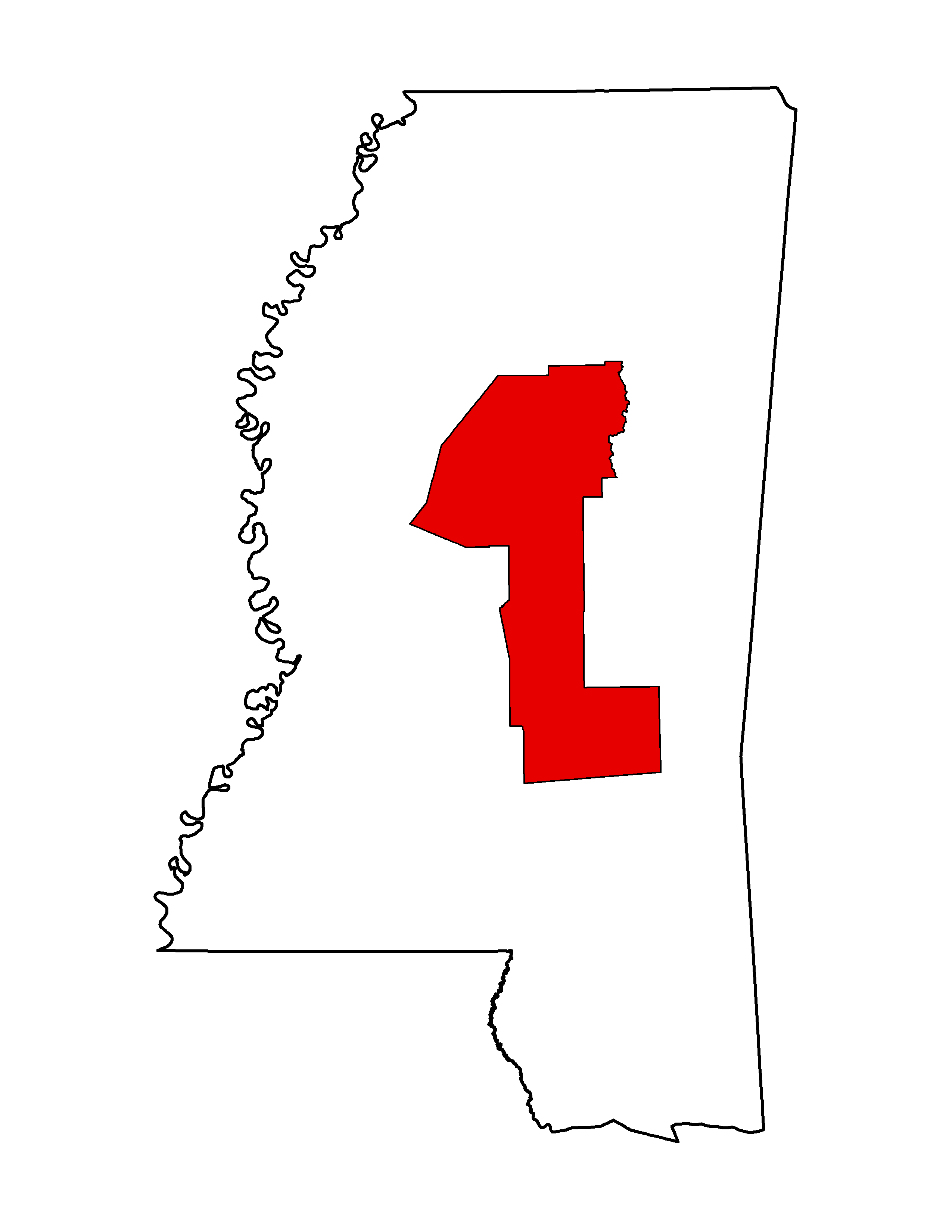
- Project Name: NRCS/USGS Central MS
- Collection Year: 2014
- Projection: UTM
- Zone: 16 N
- Point Spacing: 0.7 meters
- Vertical Datum: NAVD88
- Vertical Units: Meters
- Horizontal Datum: NAD83
- Products Available: LAS
- Point Cloud:
2013
- Project Name: NRCS/USGS Lauderdale, MS Lidar
- Collection Year: 2013
- Projection: UTM
- Zone: 16 N
- Point Spacing: 0.7 meters
- Vertical Datum: NAVD88
- Vertical Units: Meters
- Horizontal Datum: NAD83
- Products Available: Classified LAS points (Full Point Cloud), Breaklines, DEM, 2 Foot Contours, Intensity Image
- Point Cloud: Classified

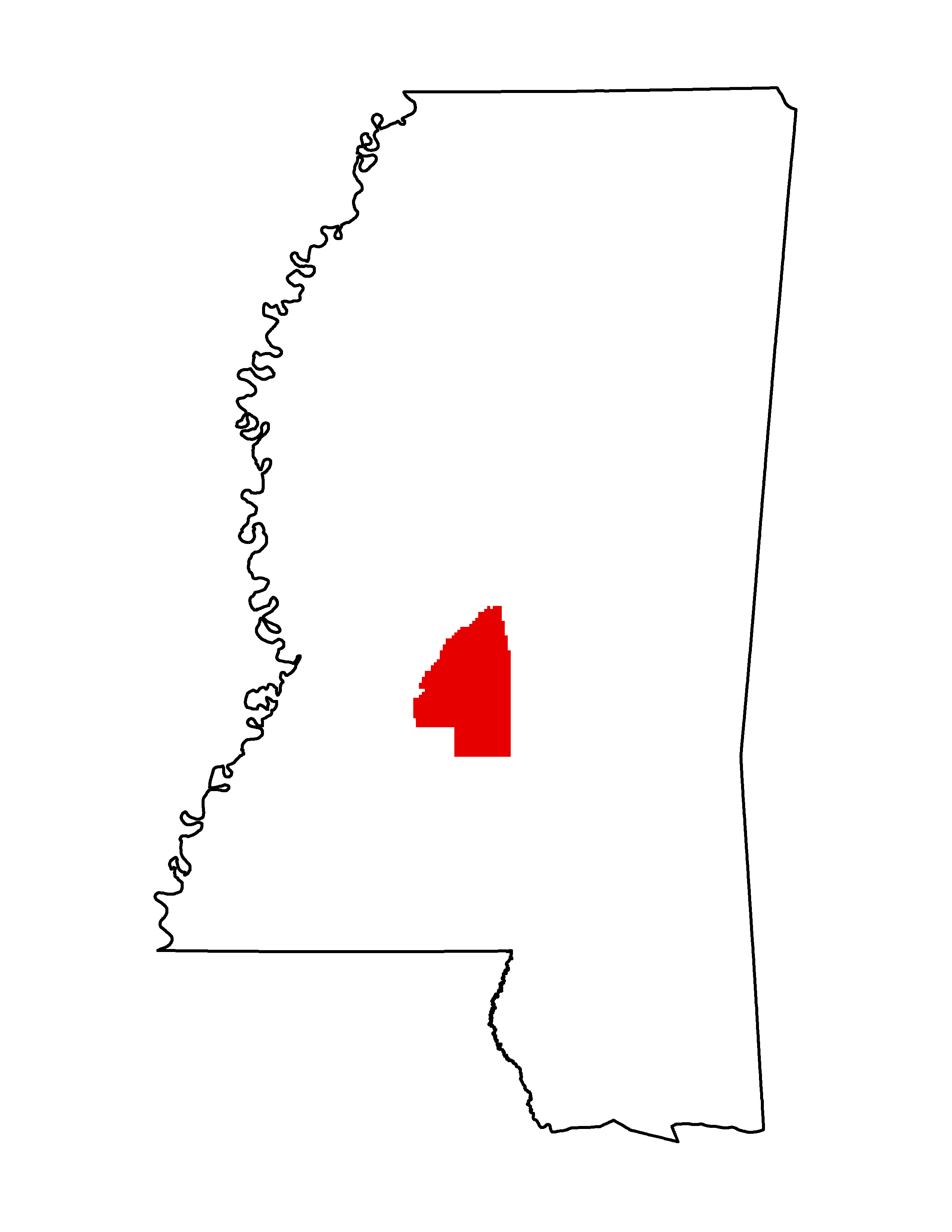
- Project Name: MS Dept. of Environmental Quality (MDEQ) Lidar: Rankin-Simpson Counties, MS
- Collection Year: 2013
- Projection: SP 83 Survey Feet
- Zone: 2302
- Point Spacing: .89 meter
- Vertical Datum: NAVD88
- Vertical Units: Feet
- Horizontal Datum: NAD83
- Products Available: LAS Classified 3D, Intensity Tiff, DEM Tiff, breaklines
- Point Cloud: Classified
2012
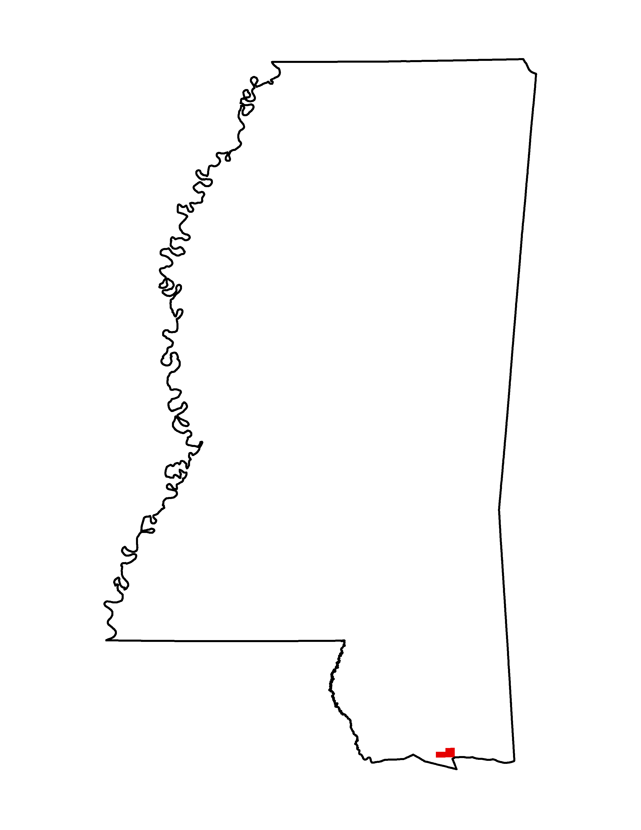
- Project Name: NCMP Gulfport (Ship Island)
- Collection Year: 2012
- Projection: UTM
- Zone: 16 N
- Point Spacing: 1 meter
- Vertical Units: Meters
- Horizontal Datum: NAD83
- Products Available: LIDAR .las files (1.2) files
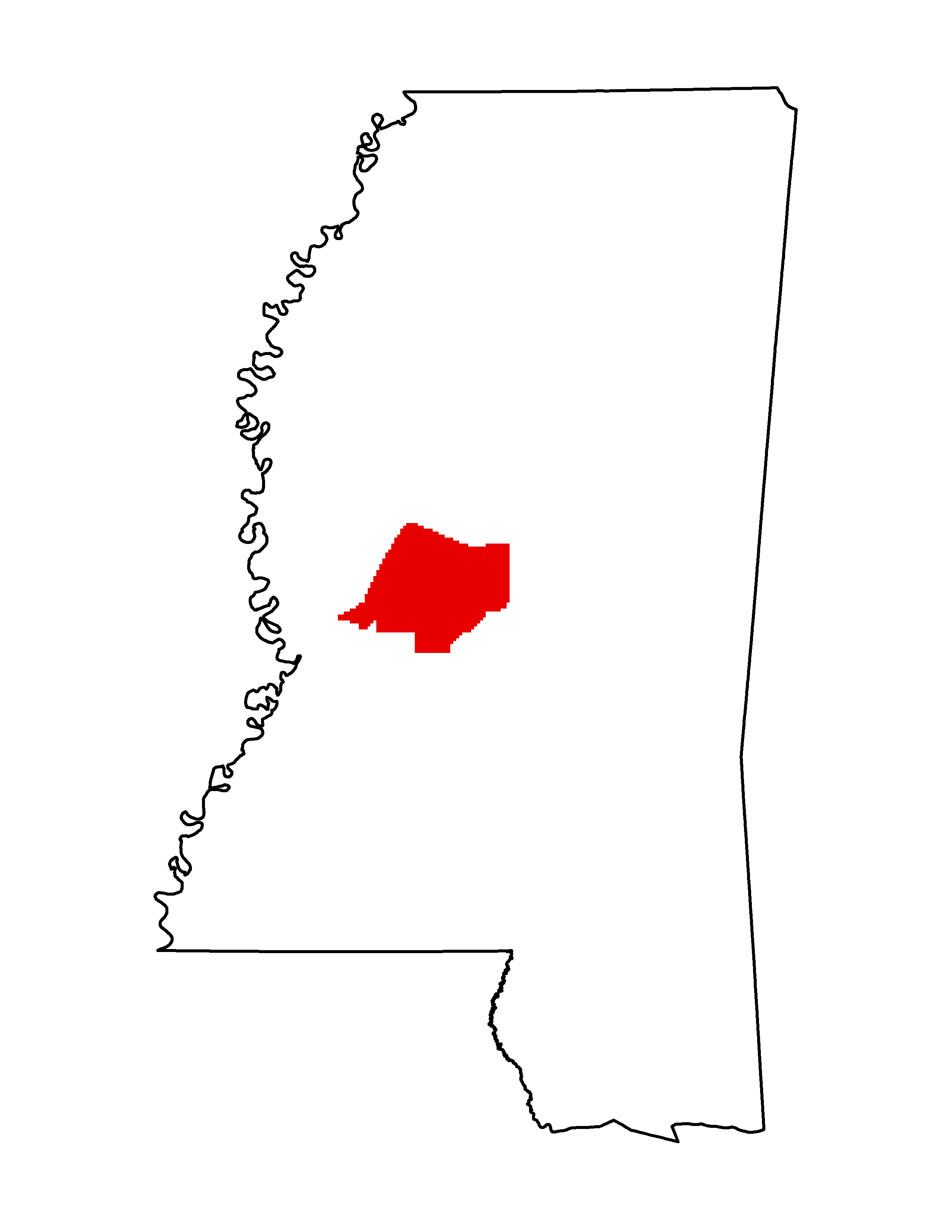
- Project Name: MS Dept. of Environmental Quality (MDEQ) Lidar: Madison-Yazoo Counties, MS
- Collection Year: 2012
- Projection: SP 83 Survey Feet
- Zone: 2302
- Point Spacing: .89 meter
- Vertical Datum: NAVD88
- Vertical Units: Feet
- Horizontal Datum: NAD83
- Products Available: LAS Classified 3D, Intensity Tiff, DEM Tiff, breaklines
- Point Cloud: Classified
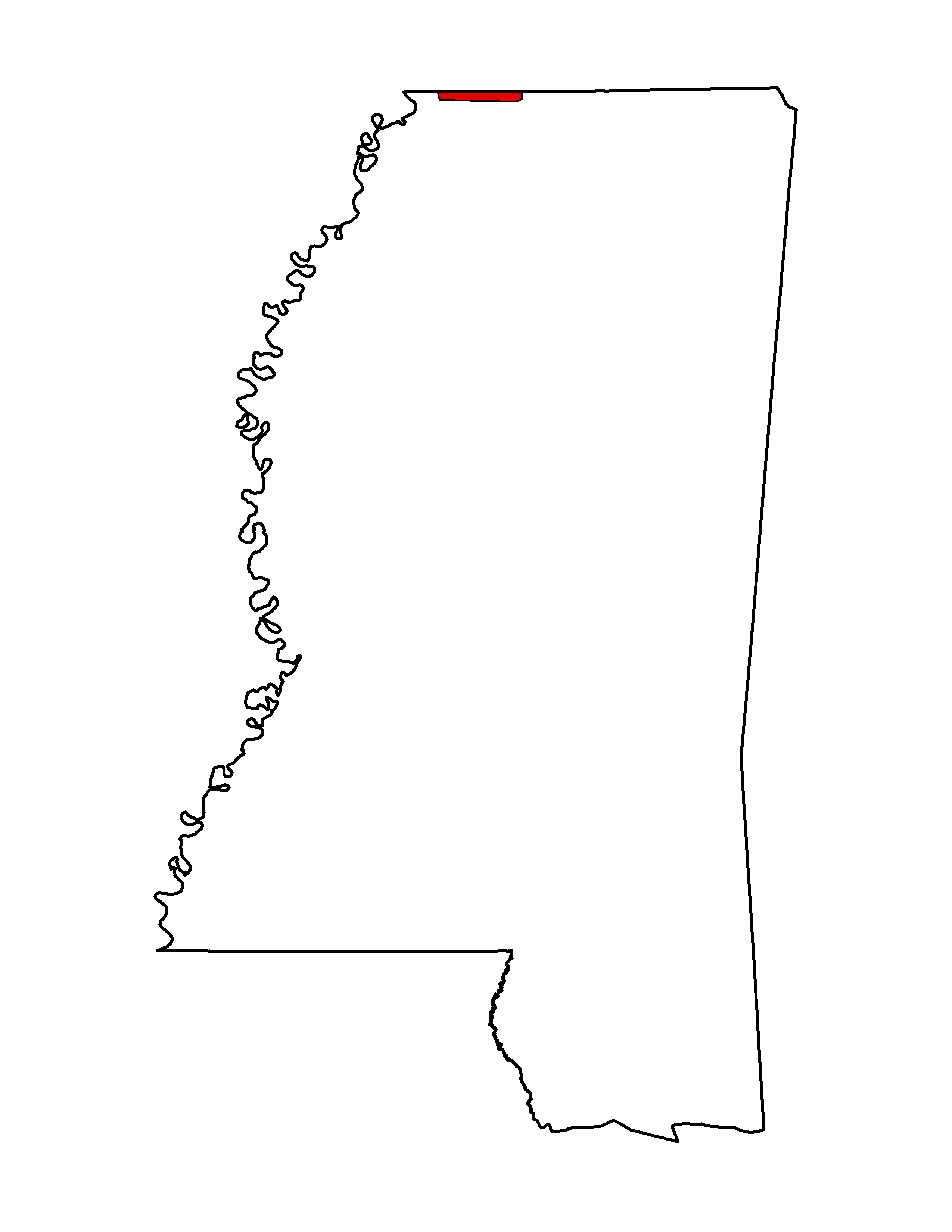
- Project Name: USGS Memphis Area (MS)
- Collection Year: 2012
- Projection: UTM
- Zone: 16 N
- Point Spacing: 1 meter
- Vertical Units: Meter
- Horizontal Datum: NAD83
- Products Available: Classified LIDAR .las (1.2) files
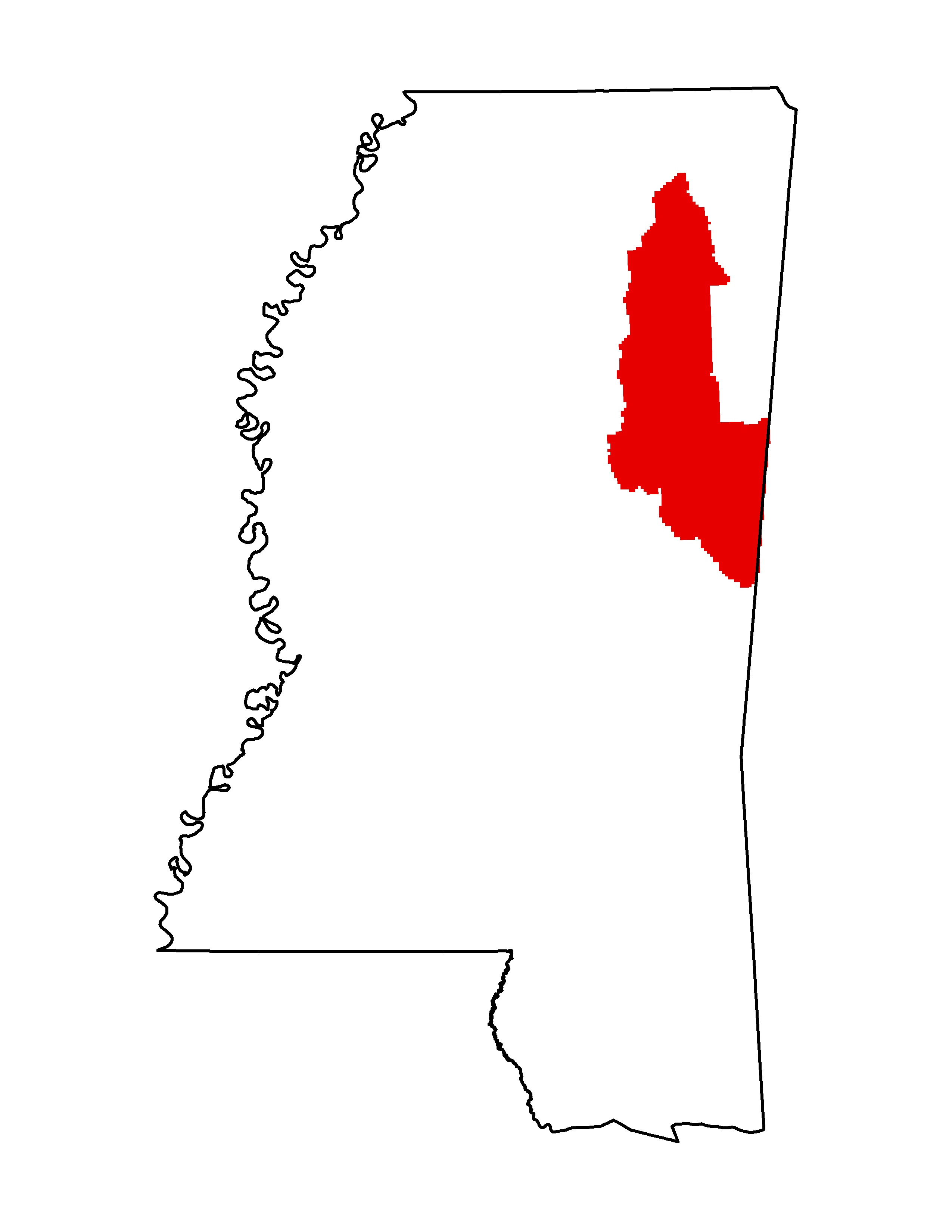
- Project Name: NRCS/USGS Lidar: Tupelo, MS
- Collection Year: 2012
- Projection: UTM
- Zone: 16 N
- Point Spacing: 1 meter
- Vertical Datum: NAVD88
- Vertical Units: Meter
- Horizontal Datum: NAD83
- Products Available: Classified LAS points (Full Point Cloud), Breaklines, DEM, 2 Foot Contours, Intensity Image
- Point Cloud: Classified
2011
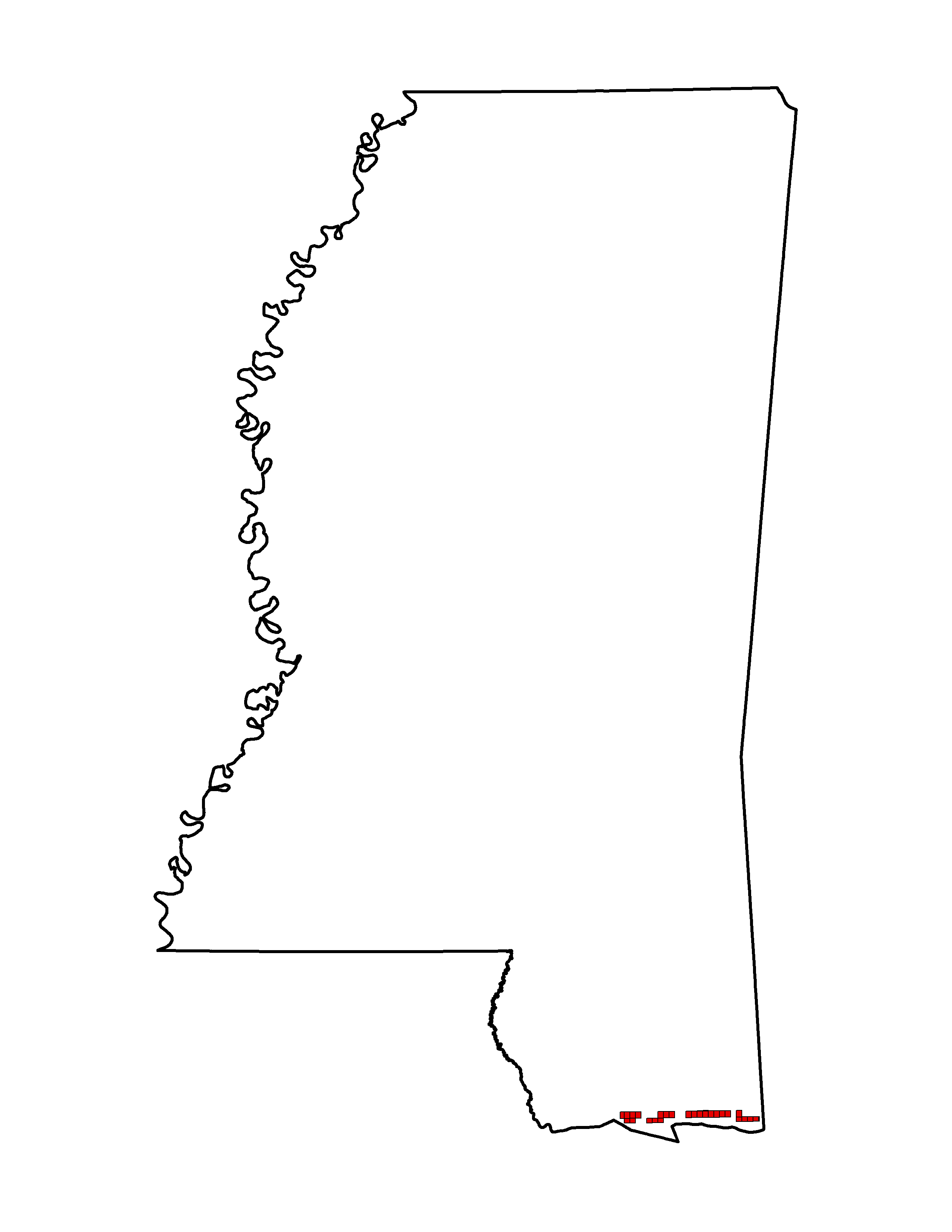
- Project Name: NCMP MS Islands
- Collection Year: 2011
- Projection: UTM
- Zone: 16 N
- Point Spacing: 1 meter
- Vertical Units: Meters
- Horizontal Datum: NAD83
- Products Available: LIDAR .las files (1.2) files
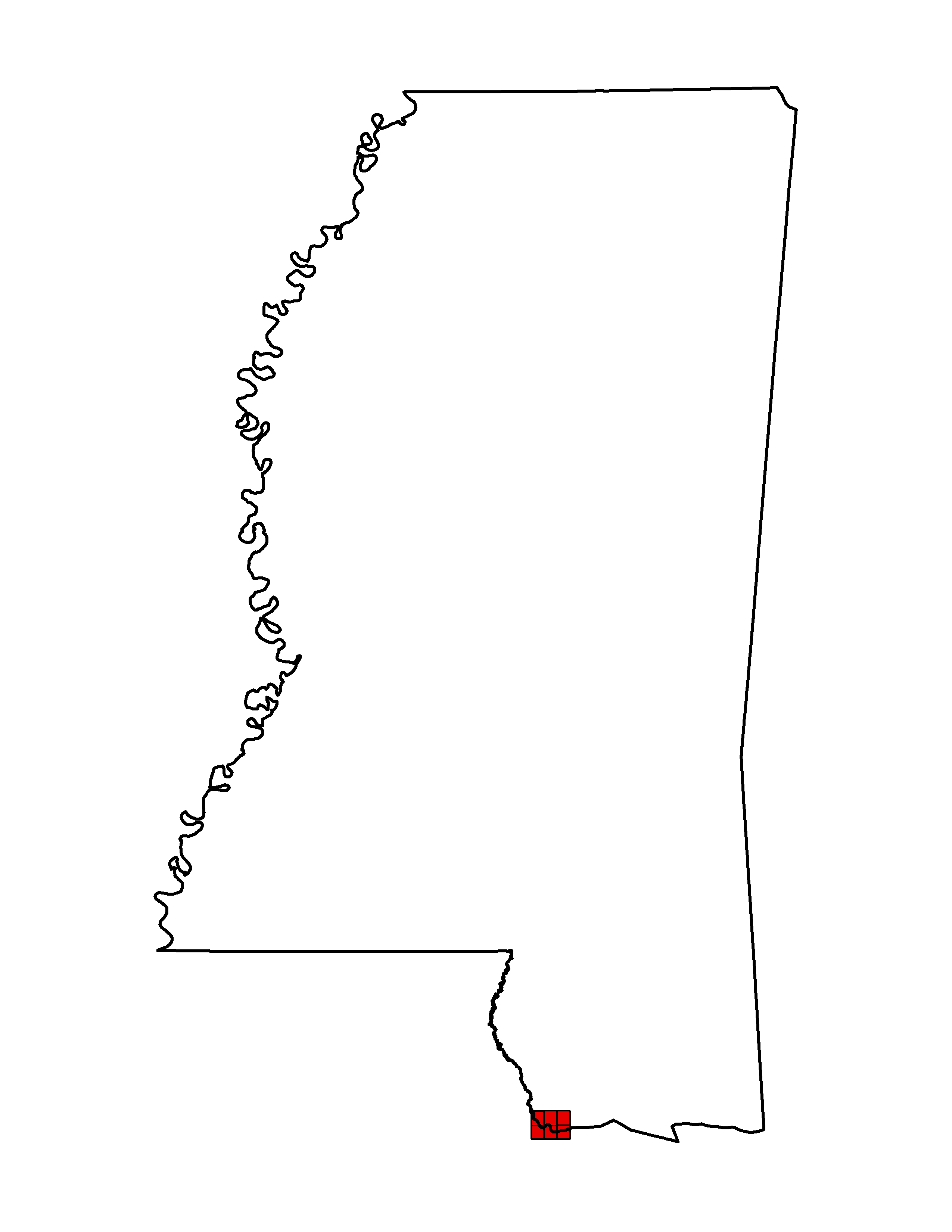
- Project Name: ARRA LA Pearl River Delta
- Collection Year: 2011
- Projection: UTM
- Zone: 16 N
- Point Spacing: 1 meter
- Vertical Units: Meters
- Horizontal Datum: NAD83
- Products Available: LIDAR .las files (1.2) files
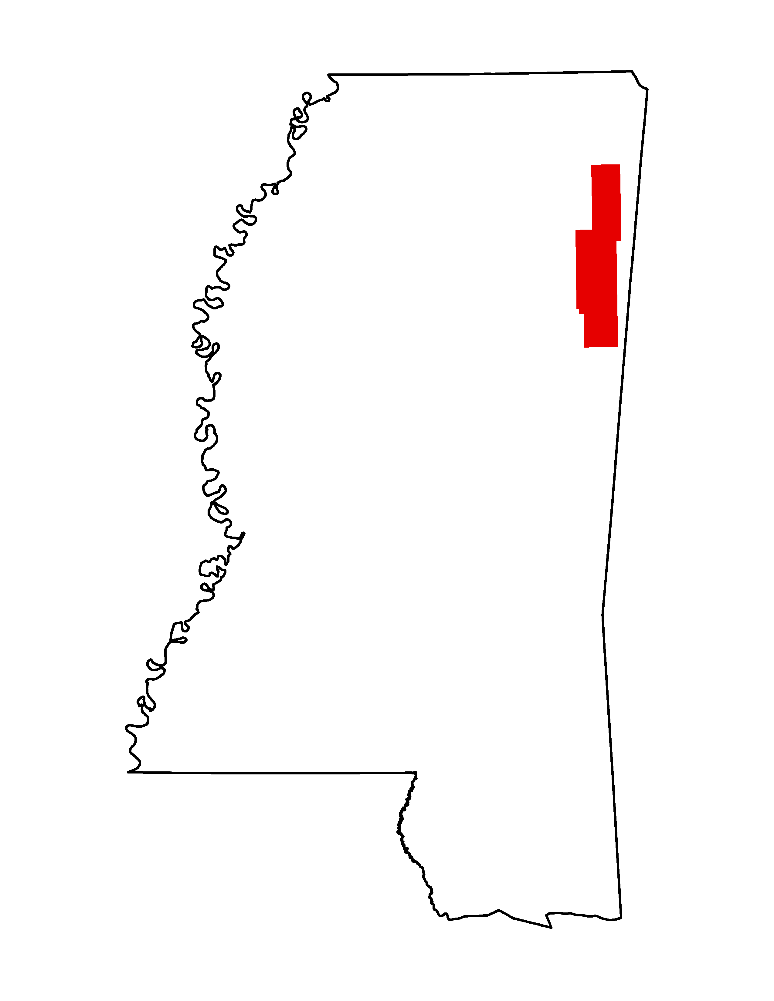
- Project Name: MS Dept. of Environmental Quality (MDEQ) Lidar: Tennessee-Tombigbee Waterway
- Collection Year: 2011
- Projection: SP 83 Survey Feet
- Zone: 2301
- Point Spacing: .975 meter
- Vertical Datum: NAVD88
- Vertical Units: Feet
- Horizontal Datum: NAD83
- Products Available: LAS Classified 3D, Intensity Tiff, DEM surface GeoTiff, 2 ft Contours & Breaklines in designated areas.
- Point Cloud: Classified
2010
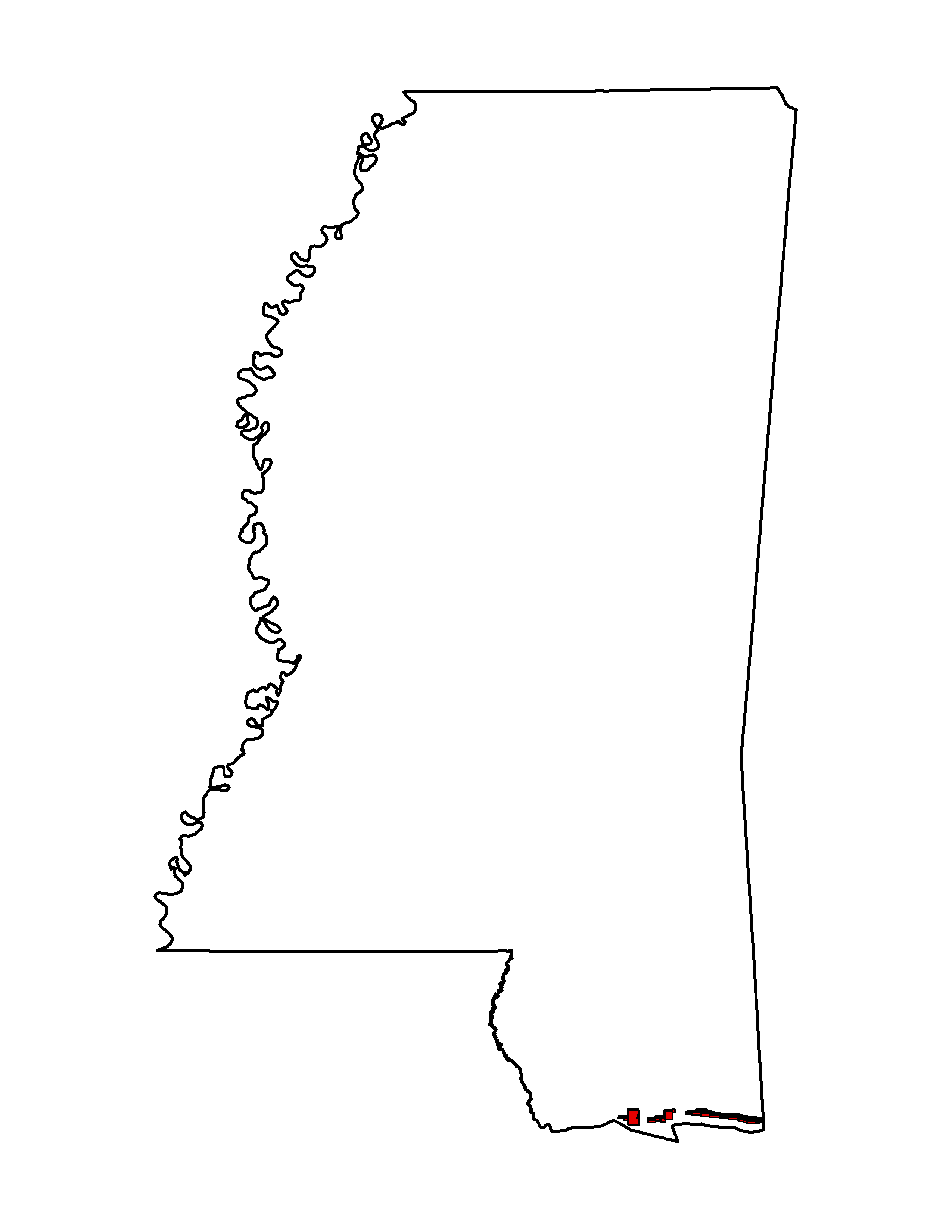
- Project Name: 2010 U.S. Army Corps of Engineers (USACE) JALBTCX Topobathy Lidar: Louisiana Coast, Lake Pontchartrain, and Mississippi Barrier Islands
- Collection Year: 2010
- Projection: UTM
- Zone: 16 N
- Point Spacing: 1 meter
- Vertical Datum: User Specified
- Vertical Units:
- Horizontal Datum: NAD83
- Products Available: Custom points, grids, and contours
- Point Cloud: Raw-Unclassified Only
Data Directories
Contour 250 GB DEM 53 GBTiling Scheme
2018 NOAA clipped tiles (UTM):
Index (shapefile) Info
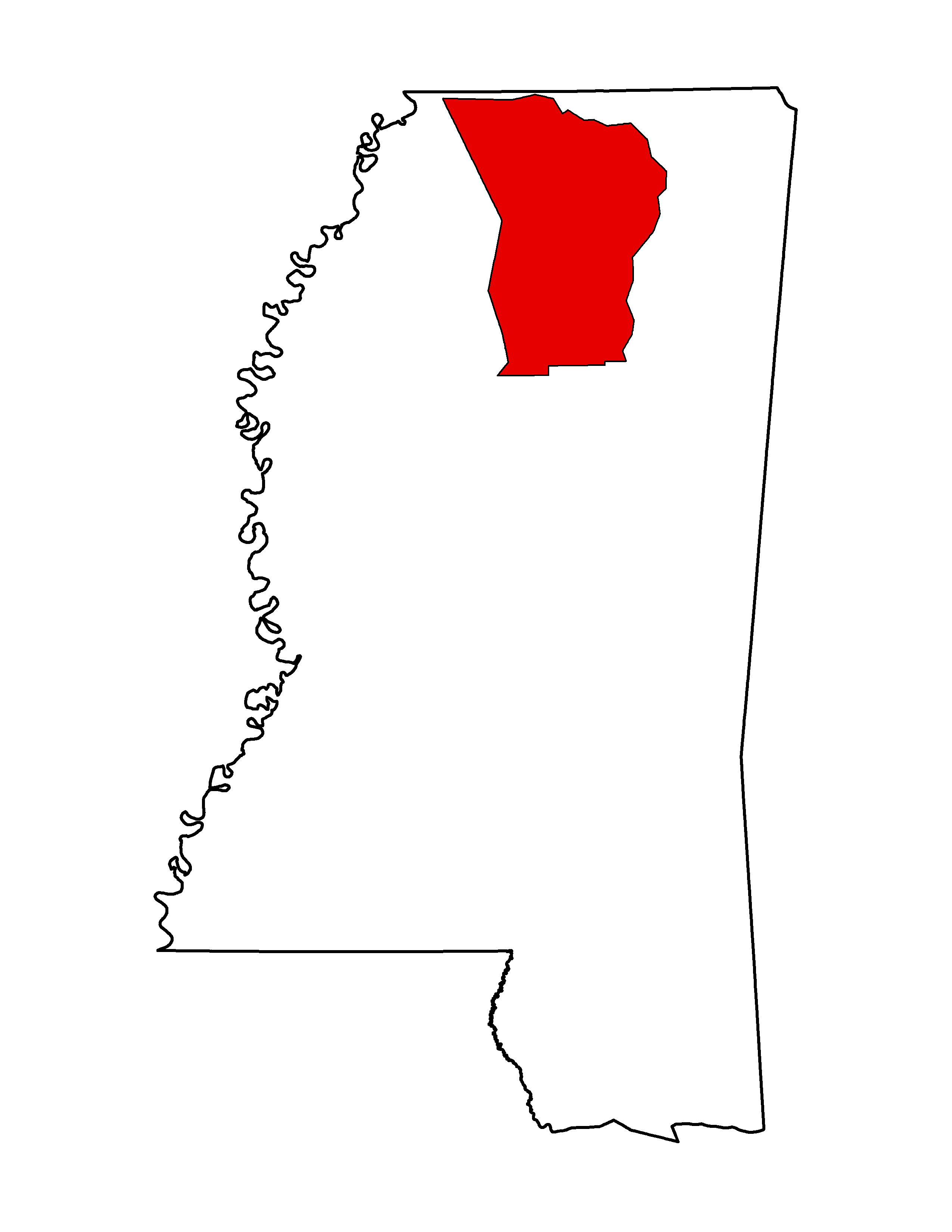
- Project Name: 2009-2010 U.S. Army Corps of Engineers (USACE) Vicksburg District Lidar: Mississippi Delta Phase 2
- Collection Year: 2010
- Projection: SP 83 Survey Feet
- Zone: 2302
- Point Spacing: 1 meters
- Vertical Datum: NAVD88
- Vertical Units: Feet
- Horizontal Datum: NAD83 2011
- Products Available: Custom points, grids, and contours from the NOAA Digital Coast; UnClassified LAS swaths, all returns Breaklines, 1 Foot Contours, 2 Foot GSD Color Ortho TIF, TIN w/Hydro Flattening, DEM (Bare Earth w/hydro flattening, 5 Foot Posting, 1st pulse - all shots, 1st pulse - ASCII
- Point Cloud: Raw-Unclassified Only
2009
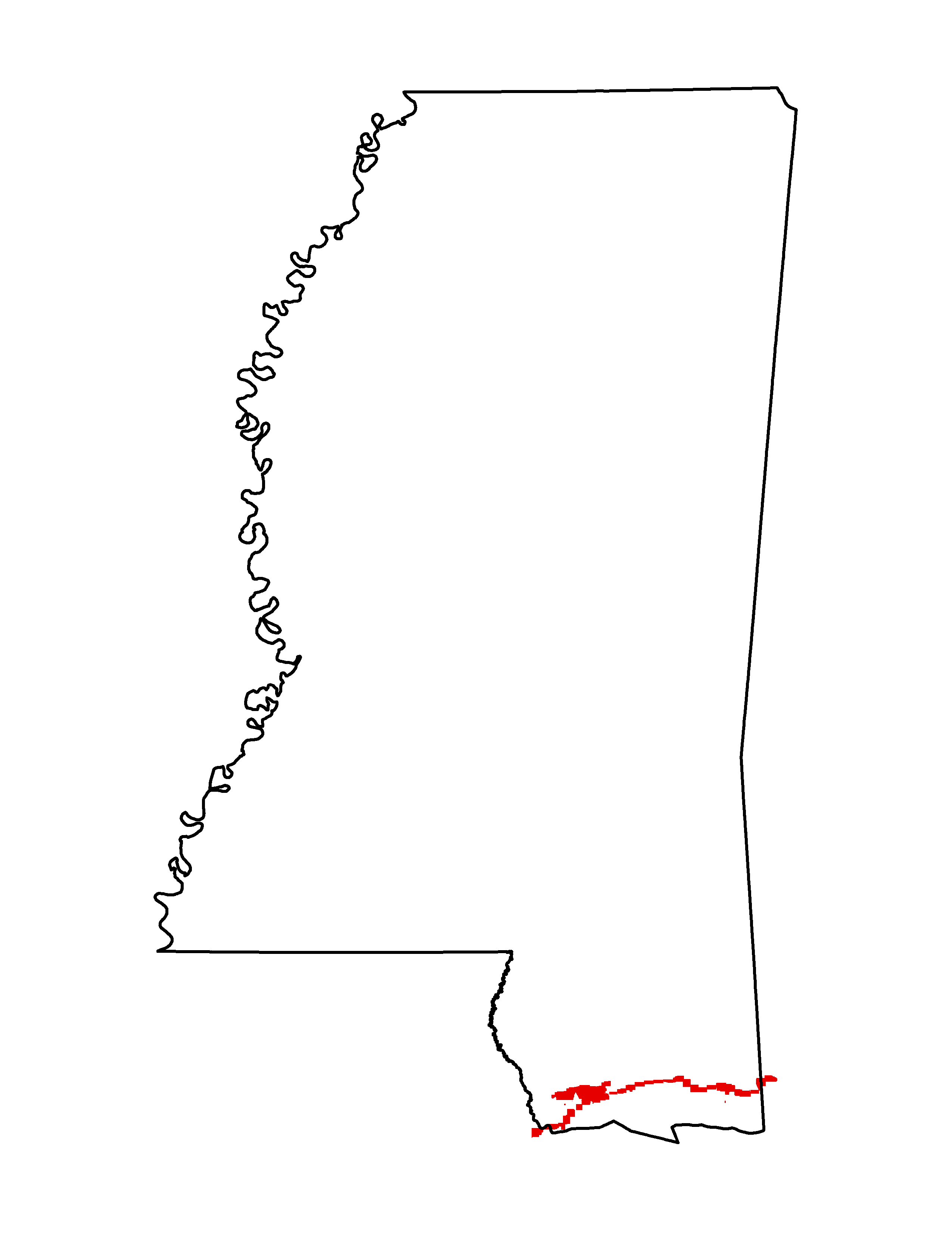
- Project Name: 2009 U.S. Army Corps of Engineers (USACE) JALBTCX Topobathy Lidar: Post Hurricanes Gustav and Ike (AL, LA, MS, TX)
- Collection Year: 2009
- Projection: UTM
- Zone: 16 N
- Point Spacing: 2 meters
- Vertical Datum: User Specified
- Horizontal Datum: NAD83
- Products Available: Custom points, grids, and contours
Data Directories
Contour 240 GB DEMTiling Scheme
5-Foot DEM tifs for both elevation and hillshades. Bolivar, Coahoma, DeSoto, Humphreys, Leflore, Quitman, Sunflower, Sharkey, Tunica, Warren, and Yazoo. The elevation DEM tiffs are 30 GB and the hillshade tiffs are 6 GB. Tiling Scheme
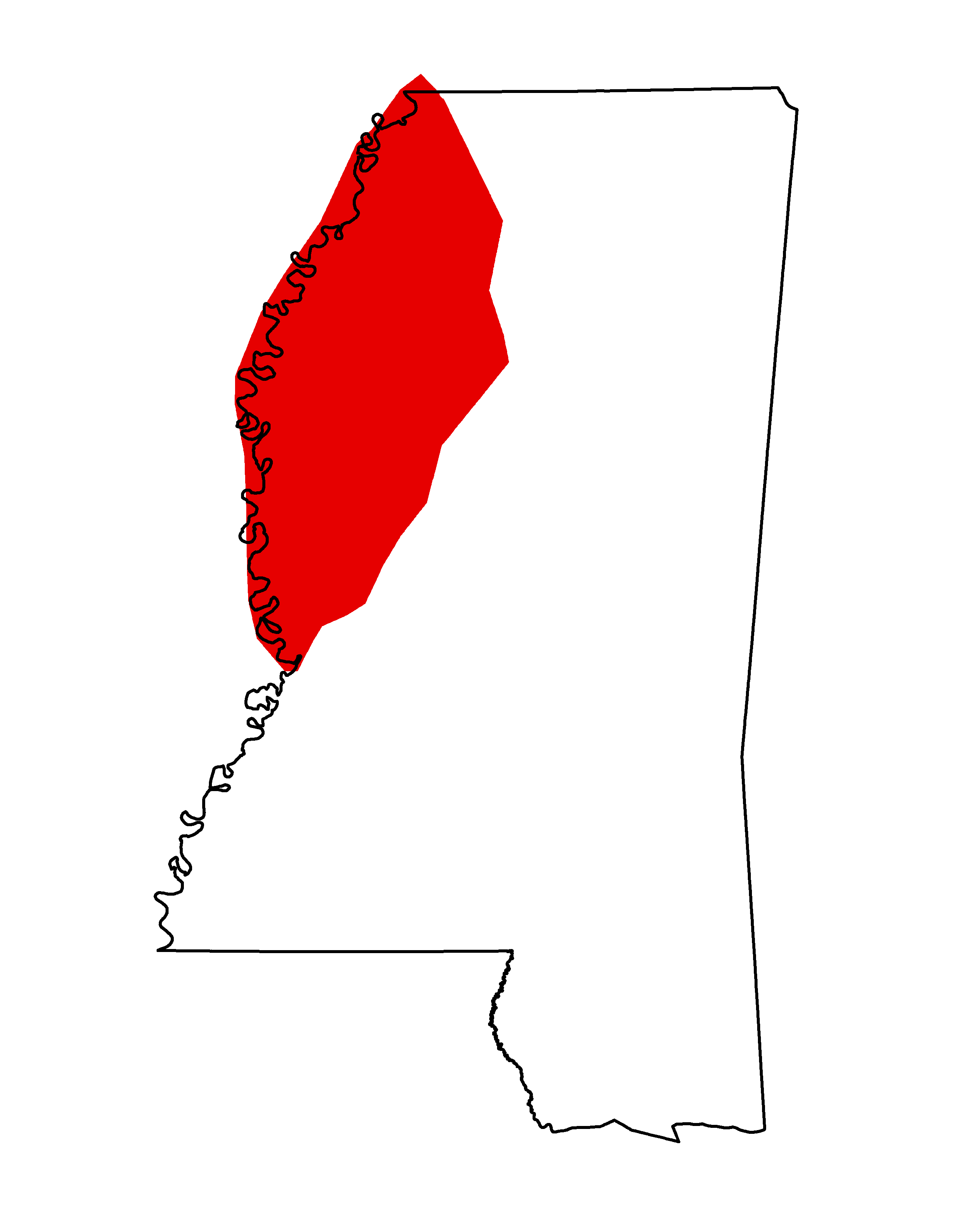
- Project Name: 2009-2010 U.S. Army Corps of Engineers (USACE) Vicksburg District Lidar: Mississippi Delta Phase 1
- Collection Year: 2009
- Projection: SP 83 Survey Feet
- Zone: 2302
- Point Spacing: 1 meters
- Vertical Datum: NAVD88
- Vertical Units: Feet
- Horizontal Datum: NAD83 2011
- Products Available: Classified LAS points, all returns Breaklines (ESRI 3-D Shapefile Arc Generate), 1 Foot Contours, 2 Foot GSD Color Ortho TIF, TIN w/Hydro Flattening, DEM (Bare Earth w/hydro flattening, 5 Foot Posting, 1st pulse - all shots, 1st pulse - ASCII
- Point Cloud: Raw-Unclassified Only
2008
- Project Name: USGS Pearl River MS Delta 2008
- Collection Year: 2008
- Projection: UTM
- Zone: 16 N
- Point Spacing: 1 meter
- Vertical Units: Meters
- Horizontal Datum: NAD83
- Products Available: unclassified LIDAR .las files (1.2) files
2007
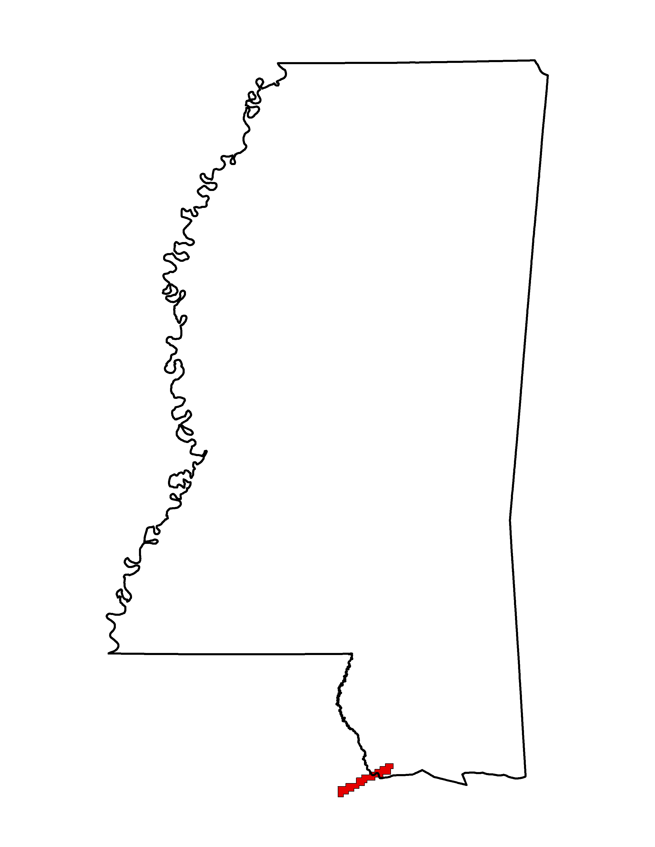
- Project Name: USGS MS Islands 2007
- Collection Year: 2007
- Projection: UTM
- Zone: 16 N
- Point Spacing: 1 meter
- Vertical Units: Meters
- Horizontal Datum: NAD83
- Products Available: unclassified LIDAR .las files (1.2) files
2006
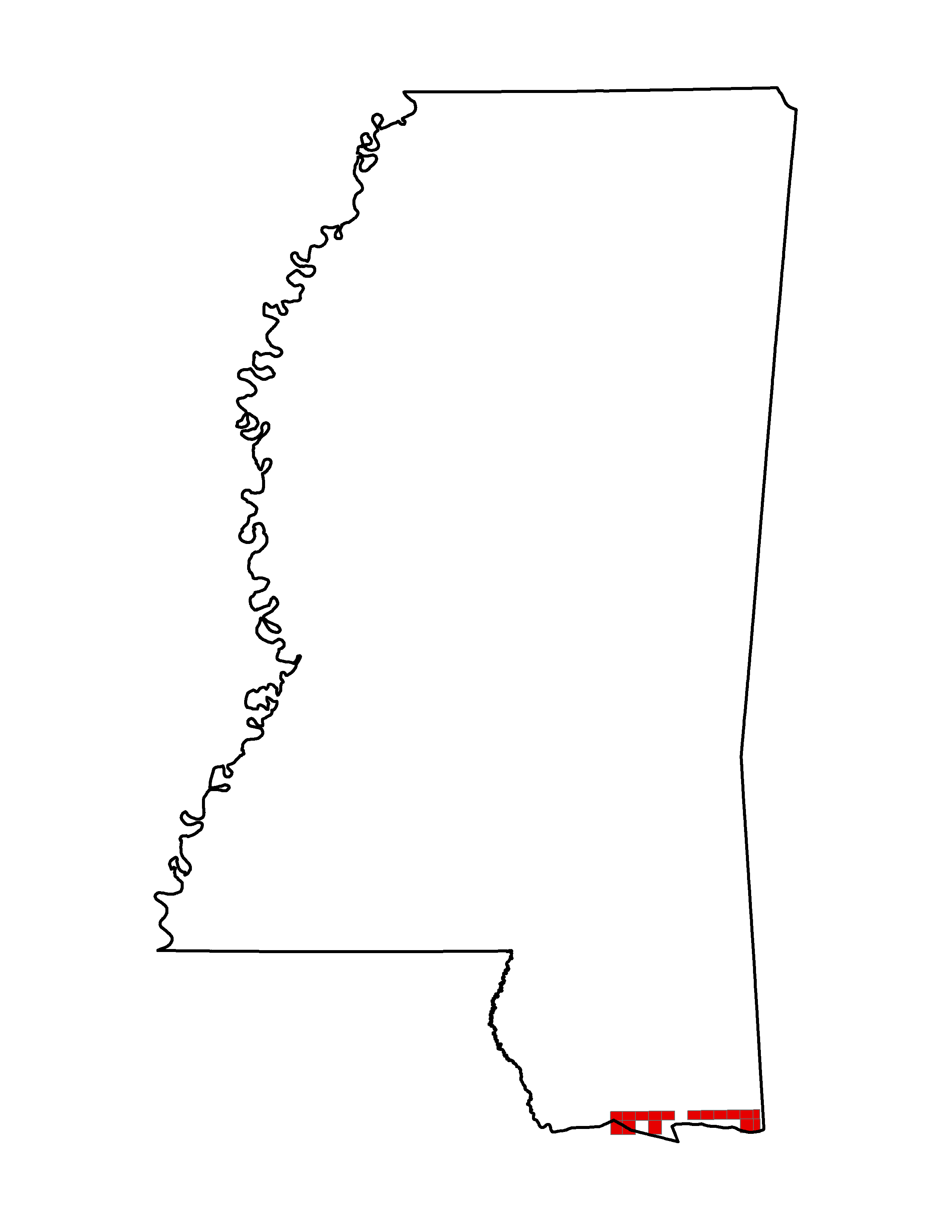
- Project Name: 2006 MS Department of Environmental Quality (MDWQ)/USGS/US Army Camp Shelby, MS Lidar
- Collection Year: 2006
- Projection: SP 83 Survey Feet
- Zone: 2301
- Point Spacing: 3 meters
- Vertical Datum: NAVD88
- Vertical Units: Feet
- Horizontal Datum: NAD83
- Products Available: BE ASCII points, BE LAS, Raw Point Cloud LAS, intensity TIFs, breaklines, flightlines, reports.
- Point Cloud: Raw-Unclassified Only
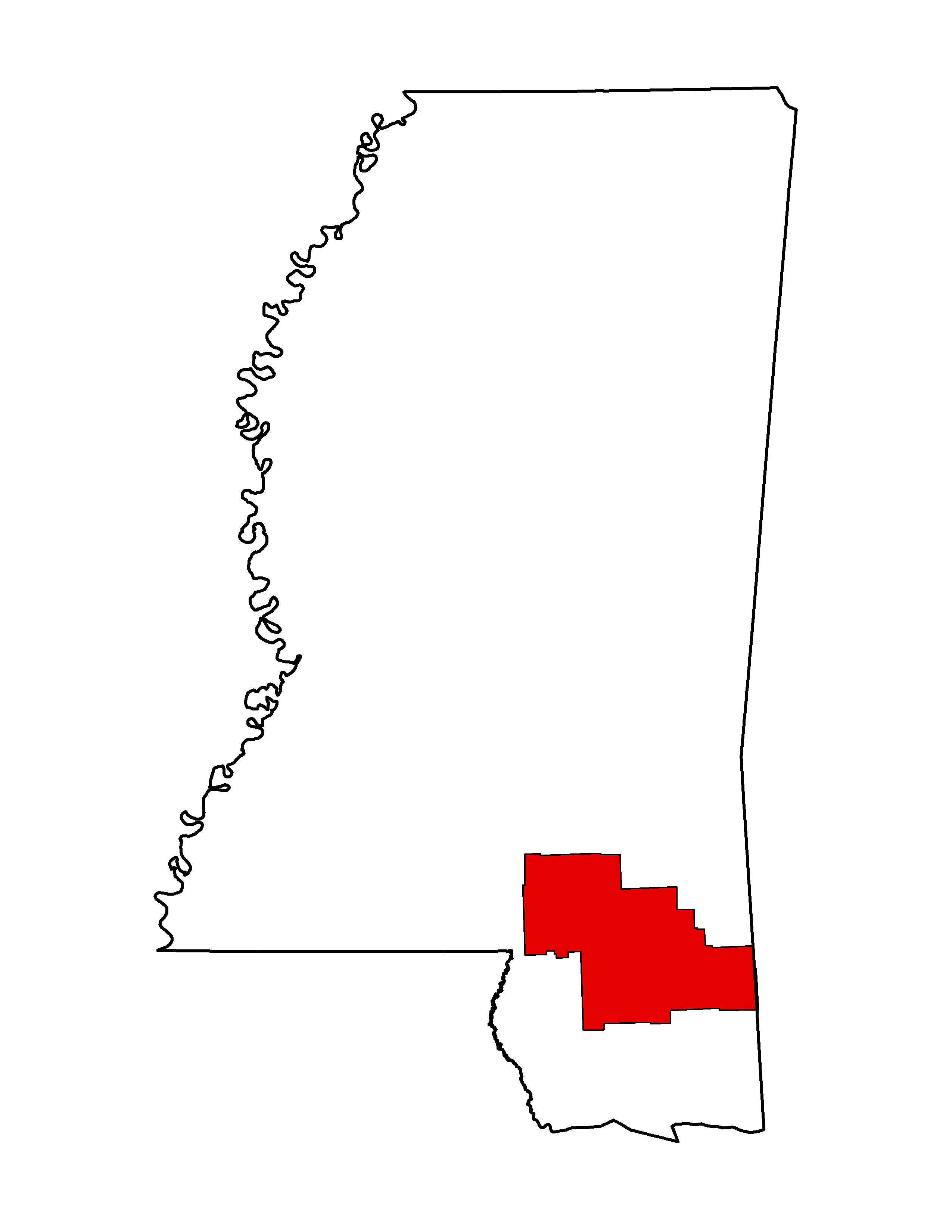
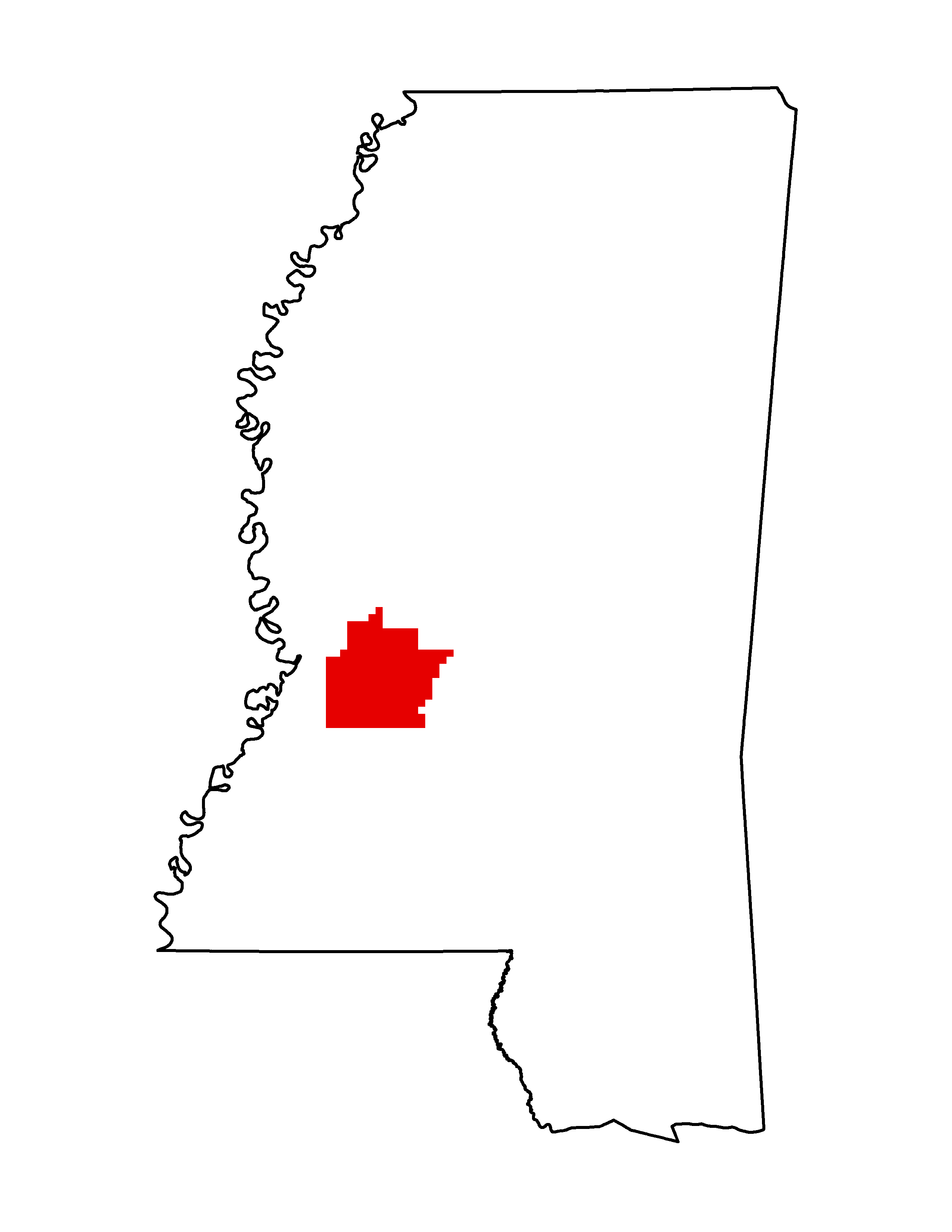
- Project Name: 2006 MS Department of Environmental Quality (MDEQ)/FEMA Hinds County Lidar
- Collection Year: 2006
- Projection: SP 83 Survey Feet
- Zone: 2302
- Point Spacing: 4 meters
- Vertical Datum: NAVD88
- Vertical Units: Feet
- Horizontal Datum: NAD83
- Products Available: LAS, Points, Breaklines, Intensity
- Point Cloud: Raw-Unclassified Only
2005
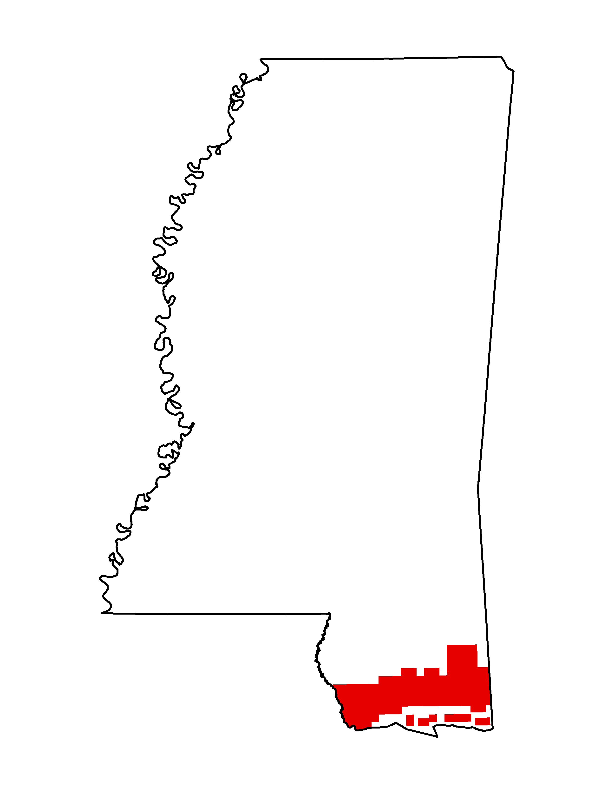
- Project Name: 2005 MS Merged Lidar: Pre and Post Hurricane Katrina
- Collection Year: 2005
- Projection: UTM
- Zone: 16
- Point Spacing: 4 meters
- Vertical Datum: NAVD88
- Vertical Units:
- Horizontal Datum: NAD83
- Products Available: LAS
- Point Cloud: Classified
Contours
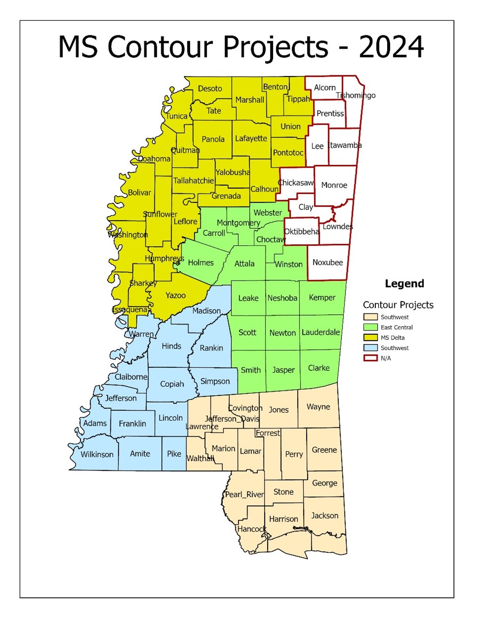
County Contours 2024
Using Mississippi LiDAR sets and 1 to 4-foot resolution LiDAR DEMs (2015 – 2020) from MARIS , and other data and resources from USGS, NRCS, MDEQ, NOAA Coastal Services Center, Mississippi DOT, Mississippi State University, and Mississippi Coordinating Council for Remote Sensing and GIS , Waggoner Engineering developed one and two foot contours for 71 of Mississippi’s 82 counties.
Data Download Directory (only 71 counties)Project Area Quality Reports (.pdf)
This data is distributed in zipped geodatabase (.gdb) format with the following products
Notes:
- There are also contours by Townships in the county geodatabases
- The zip files are huge. Over 15 GB each
- If you want the entire data set, we suggest sending an external USB Drive (at least 1TB) to:
MARIS
Office 717
3825 Ridgewood Rd
Jackson, MS 39211
If this year’s MDEM funding comes through the contours for the remaining counties will be completed this year. If this year’s funding gets cut then all planed work will be moved to next year’s grant proposal.
Various agencies including NRCS, USGS, and MDEQ have developed LIDAR-based 1 foot contours for parts of the state including:
- Camp Shelby Area 2016
- Coastal 2015
- MS Delta 2009-2010
- NRCS East MS 2020
- NE MS 2016
- Southwest MS 2016
Download This data is in various formats including shapefiles and geodatabases.
Reprocessed Contour Data
Mississippi 1:24,000 USGS topographic hypsography reprocessed contours. Contour intervals are 5, 10 or 20 feet depending on the area of the state. Supplemental contours (where applicable) are 5 or 10 feet.
The MARIS Technical Center, under contract with USGS, reprocessed the contour data.
NOTE: During September 2014, MARIS staff reevaluated all county contour files. The TYPE attribute was checked to make sure coding was correct for Index, Intermediate, and Supplemental contours. During this process, edits were also made for any errors in elevation that were easily recognized. A statewide file is now available along with a Map Service.
DEMS
County
County 10 meter Download Metadata
Vertical Datum is NGVD 1929
County 10 meter Hillshades Download
A countywide 10 meter DEM Hillshade is available using the defaults: Azimuth – 315, Altitude – 45 and Z Factor – 1.
Statewide
Statewide 10 meter Download
Statewide 10 meter Hillshades Download
Vertical Datum is NGVD 1929
A statewide 10 meter DEM is available (4.2 GB) as well as a statewide Hillshade (900 MB) of the DEM using the defaults: Azimuth – 315, Altitude – 45 and Z Factor – 1.
Each zip file contains the entire directory including the info files. There is no need to import these files.
Contours
MS Coastal counties including: Pearl River, Stone, Harrison, Hancock, and Jackson and parts of Marion, Lamar, Forrest, Perry, Greene, and portions of Alabama, and Louisiana
NAD 1983 HARN SP East Projections Avg. Size = 200 MB / county
Data .zip Shapefiles
Sample Metadata PDF Download
MDEM 2007 Coastal Region Base Mapping information:
Webpage .zip Geodatbase (Approximately 600 MB)
All counties except: Desoto, Tunica, Pearl River, Stone, Harrison, Hancock, and Jackson
NAD 1983 HARN SP East & West Feet Projections Avg. Size = 280 MB / county
Data Download
Sample Metadata PDF Download
More MDEM DTM 5 Foot Contours 2006-2007 information Info
Post-Katrina (Dec. 2005) Coastal Data
In response to Hurricane Katrina, MARIS has compiled a set of data layers crucial to the response and recovery if another hurricane approaches. The data is separated by county for Harrison, Hancock, and Jackson. The data consists of I- Contours and II - Other Coastal Shapefiles: 20 vector layers and 2 image files. The file names all contain a FIPS code to allow displaying of the entire coast in one map.
EarthData 2005 Post-Katrina 2 foot Contours:
Hancock Harrison Jackson ( Readme)
Other Coastal Shapefiles:
ArcReader Files:
The data is 2005 2ft contours for southern part of each of the 3 coastal counties generated from LIDAR.
| Layer | Description |
|---|---|
| cem<fips> | Cemetery locations from GNIS |
| chc<fips> | Community Health Centers |
| church<fips> | Church locations from GNIS |
| city<fips> | Incorporated Cities |
| co<fips> | County Border |
| dams<fips> | High Hazard Dams |
| gasp<fips> | Natural Gas Pipelines |
| <countyname>05 | 2005 2 m True Color NAIP Imagery |
| hosp<fips> | Acute Care Hospitals |
| inter<fips> | Intermittent Streams |
| landf<fips> | Municipal Landfills |
| mri<fips> | Recreational Facilities |
| natreg<fips> | National Historic Registry Sites |
| oilngas<fips> | Oil and Gas Wells |
| parcel<fips> | Land Parcels |
| peren<fips> | Perennial Streams (with names) |
| pls<fips> | Public Land Survey System |
| rds<fips> | 2005 TIGER Roads with addresses |
| rrds<fips> | Railroads |
| trans<fips> | Transmission Lines |
| topo<fips> | County Mosaic 1:24,000 topographic map |
| wat<fips> | Lakes, Ponds, Gulf, Islands (with names) |
