Mapping
Connect to the MARIS GIS Server using ArcGIS Pro PDF Download
Logging in to Enterprise with Global Mapper PDF Download
Note: You cannot connect ArcMap 10.8 to ArcGIS Enterprise 11.3 because ArcMap is not supported for adding publisher connections to ArcGIS Server 11.0 or later. ArcMap-based publishing and administrative workflows are also no longer supported in ArcGIS Enterprise 11.x. You need to use ArcPro and the instructions above.


Map/Image Services
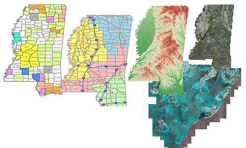
These are map/image services of multiple layers generated by MARIS of specific areas or projects and can be pulled into ArcGIS Online, Arc Script, ArcMap, and Google Earth.


Other Agency Services
These are map/image services of multiple layers generated by other agencies of specific areas or projects and can be pulled into ArcGIS Online, Arc Script, ArcMap, and Google Earth


